Medium/Hard Difficulty![]()
![]()
Distance (return)
6.4 km/4 mi
Approx. time
3–5 hrs return
Elevation gain
425 m/1400 ft
More
Details
Steepest grade: 25%+
High-clearance 4×4 advised to trailhead? Usually
Best seasons: late June to late Sept
Closest public bathroom Visitor Centre
Cell service? Spotty
Gear to bring Bring 2L water per person, bear spray and bug spray
Trail Description:
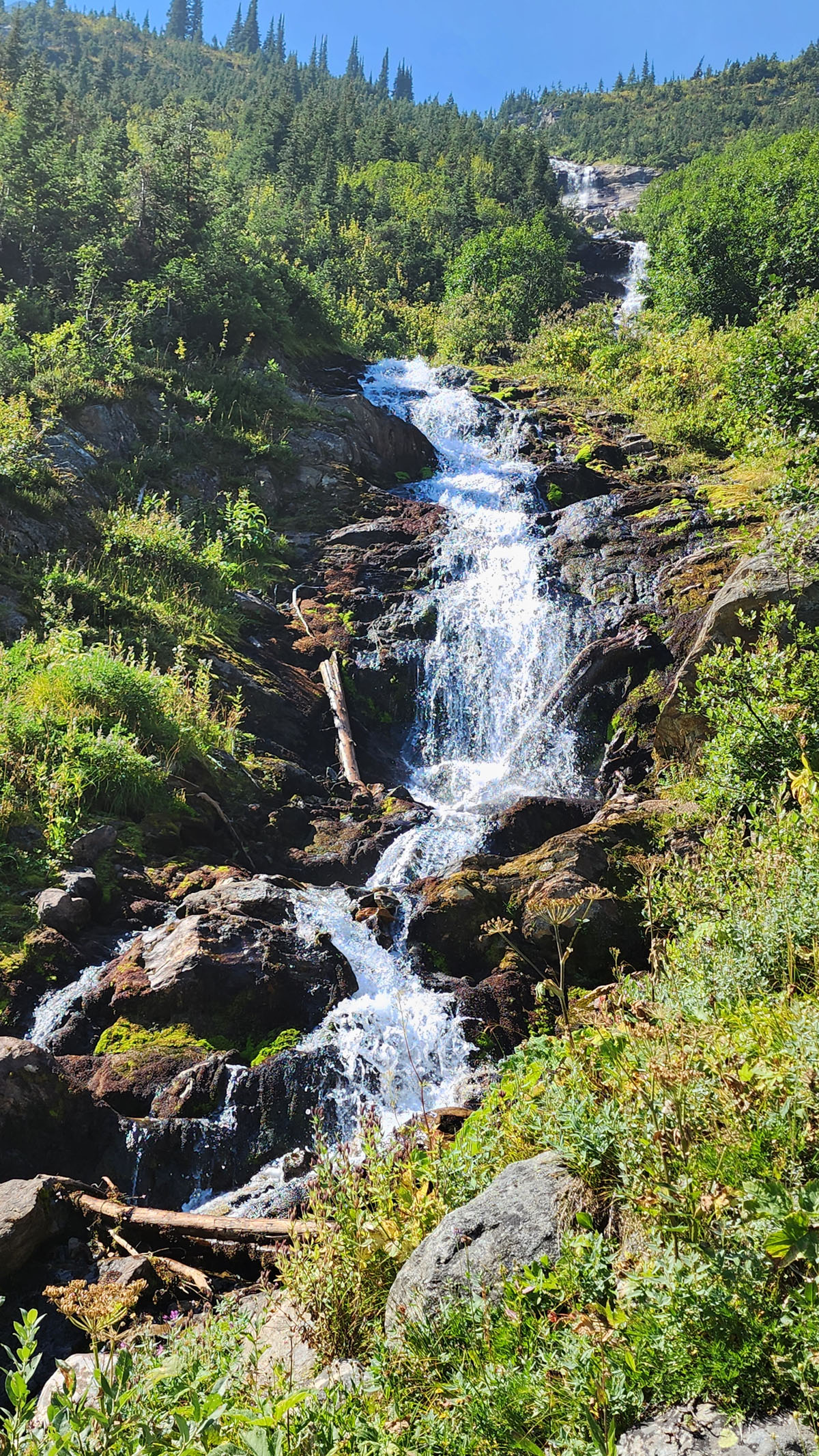
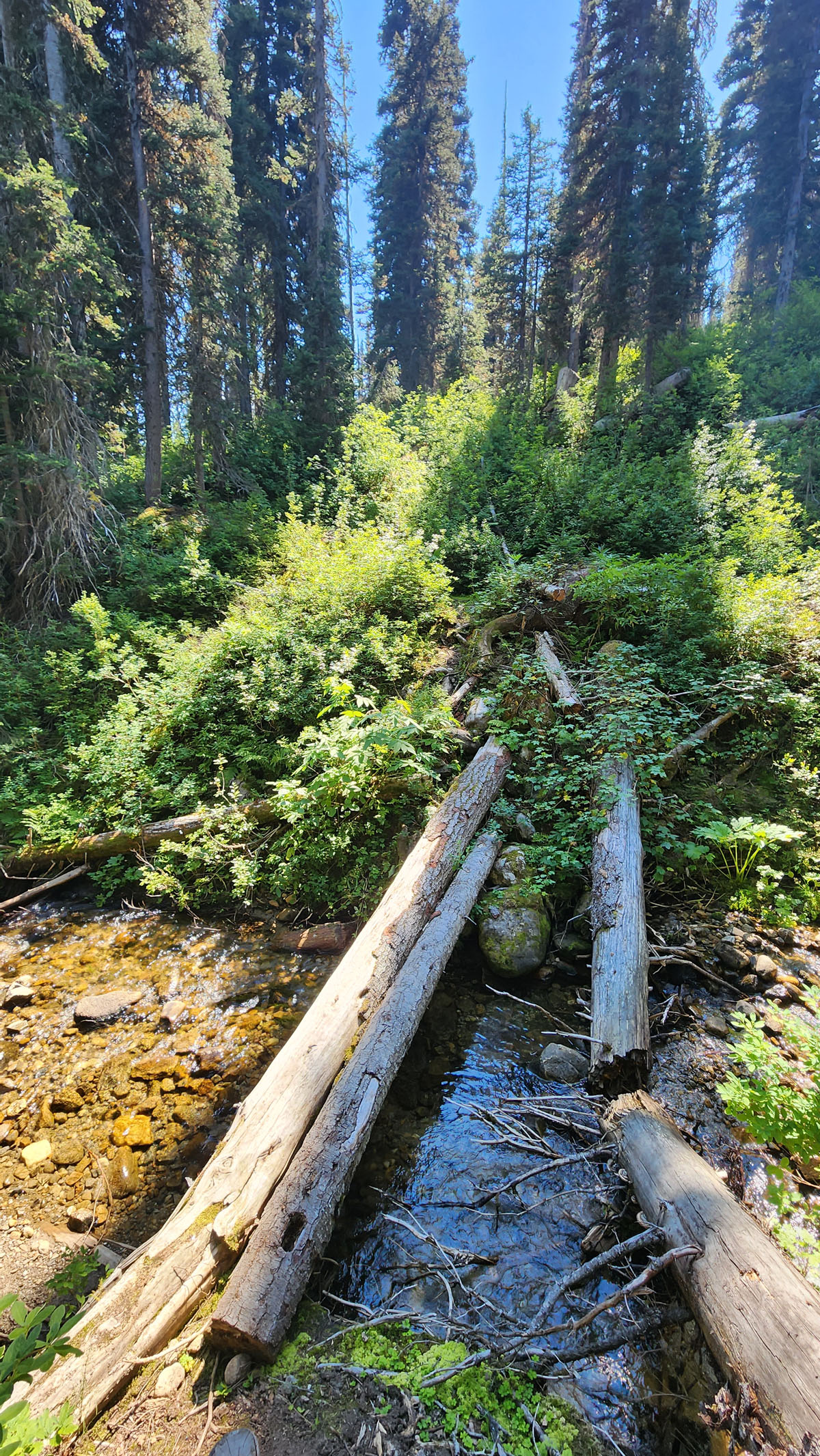
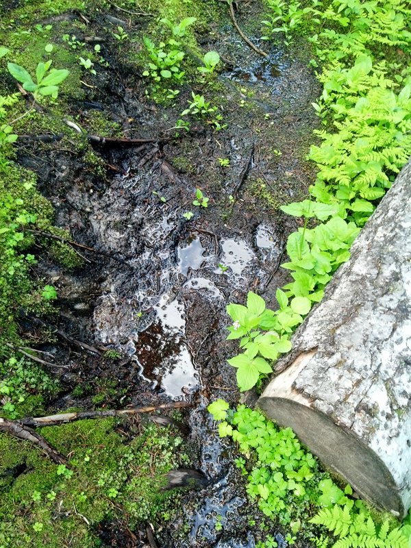
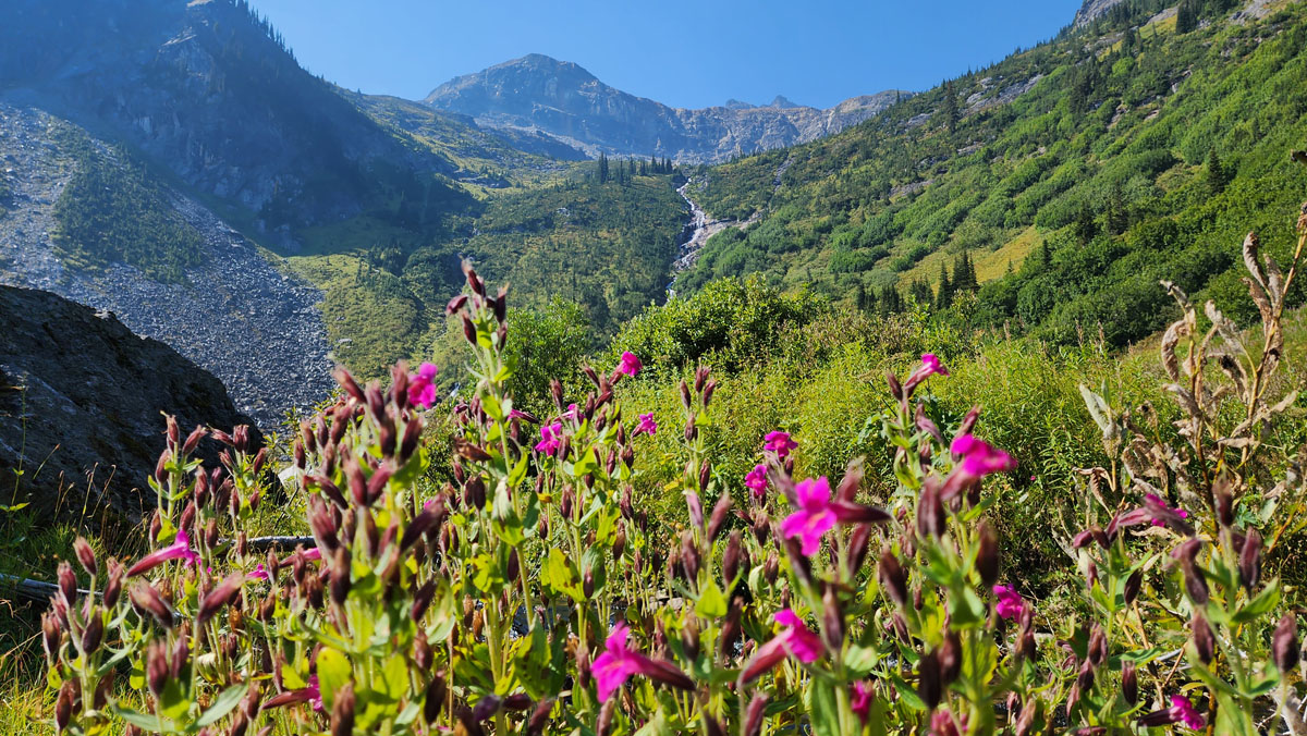
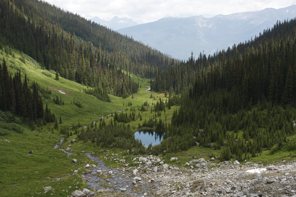
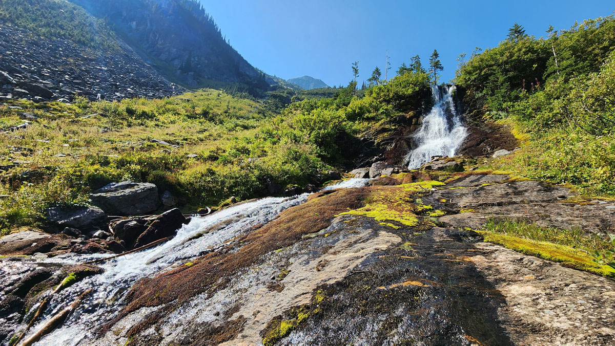
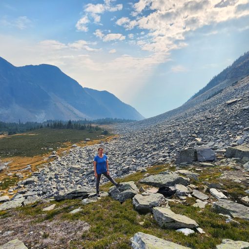
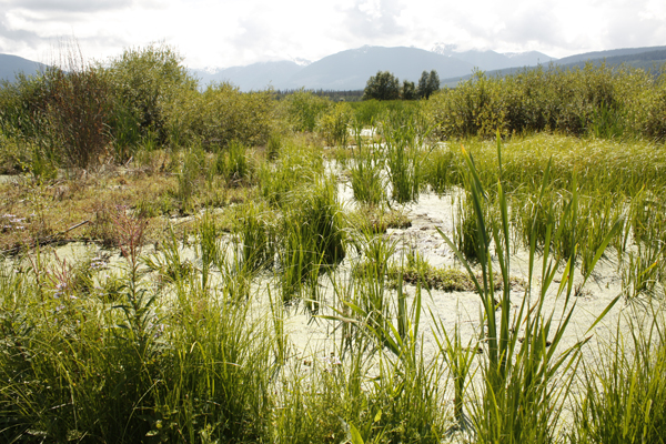
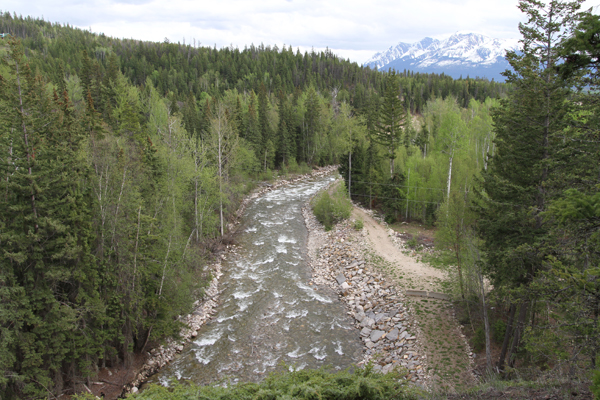
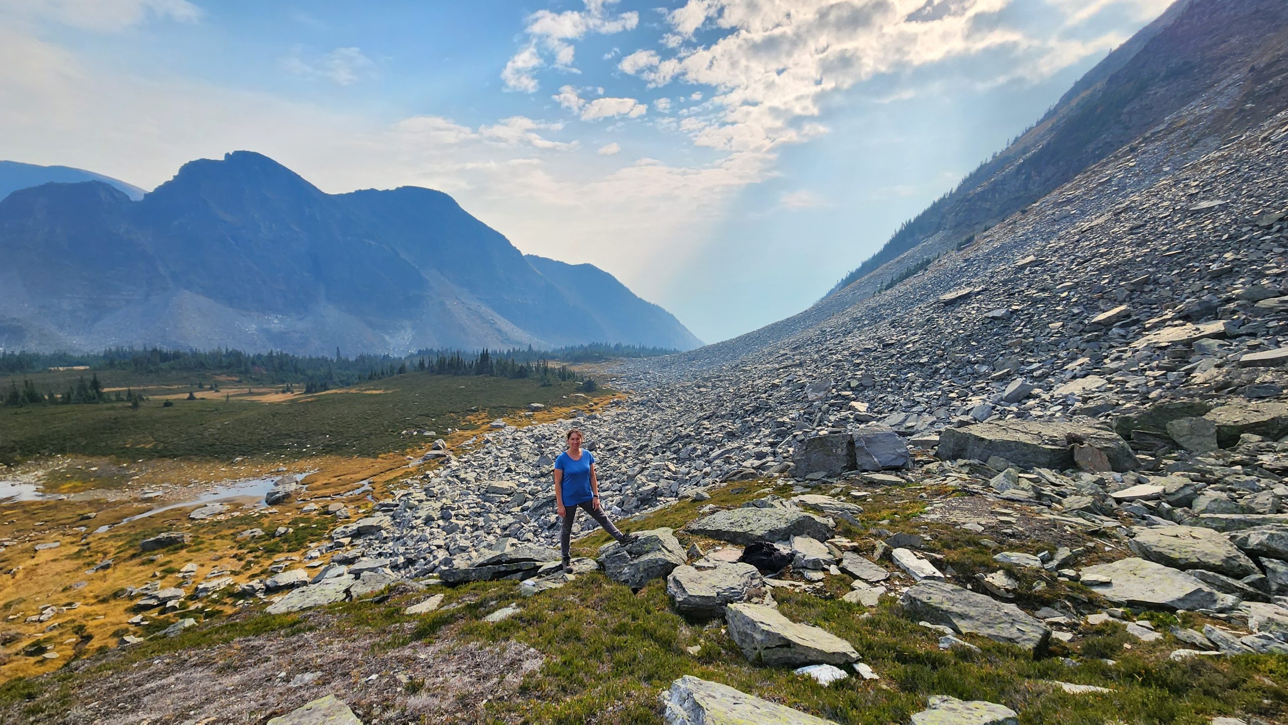
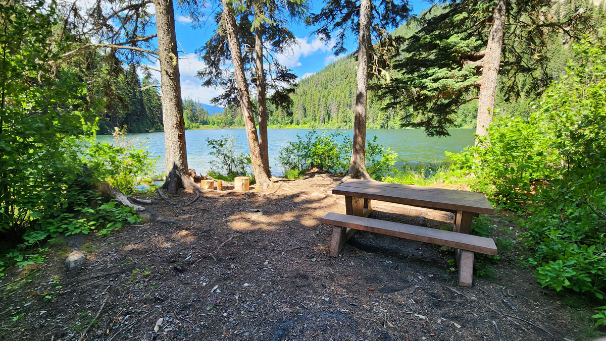
The payoff for this hike is a gorgeous meadow with a creek, lake and waterfall. It’s a long drive on a logging road to get to the trailhead (~16km), and a steep climb, but the hike up to the first lake is only ~2 hours and the scenery is spectacular. The mosquitoes are usually fierce in June and July though, and it’s pretty wet and boggy in the meadows. Watch out: Grizzly bears are often forage in the meadow during spring and summer. At one point you’ll need to cross a large log that’s over a stream. It is a wild and beautiful place. The Mt. Trudeau trail is not currently maintained, so you’ll encounter overgrown trees and berry bushes, possibly some deadfall, and the flagged trail often disappears once in the meadows. Hiking unmaintained trails will give you a taste for the work done by the hardworking volunteers in organizations such as YORA (the Yellowhead Outdoor Recreation Association).
Best Parts: Gorgeous meadow with a creek, lake and waterfall.
Worst Parts: Steep sections are slippery when wet (wear good hiking shoes). Hiking poles are recommended. The sub-alpine meadow is boggy. Grizzly bears are sometimes spotted in the meadow. Be sure to make lots of noise so you don’t surprise them and they have time to leave. Every hiker should carry bear spray. The mosquitoes are bad due to the lush environment – bug spray or a net shirt are a must.
How to access/where to park
Google Map directions
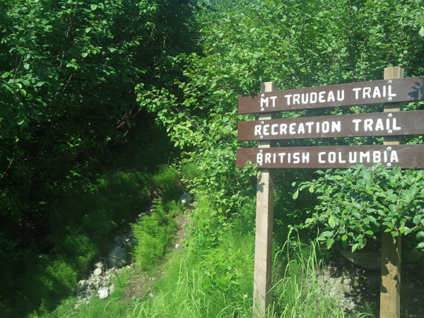
From the Visitor Info Centre, head south on Hwy 5 (towards Kamloops). Approx. 3.5 km south, take a right at the intersection and follow the logging road as per these google map directions. This road often has active logging, so follow all signage and use radio calls if required. The trailhead is well marked, though someone has cut out the “Mt. Trudeau” portion of the sign, so it just says “Trail.”
Trailhead coordinates
52.833921°, -119.385940°
(Insert into Google Maps search)
GPS Tracks
(Right click, Save link as)
Download Trail GPX file

 Add to favorites