Easier to Medium Difficulty 

Distance (return)
1.2km/0.7mi
(main lookout)
2km/1.2mi
(Upper & lower falls)
Approx. time
1 hr return
Elevation gain
100 m/328 ft
*This trail is NOT safe in winter due to high avalanche risk!
More
Details
Steepest grade: A few very steep spots, mostly moderate incline
High-clearance 4×4 advised to trailhead? Recommended but not always necessary
Best seasons: Summer & fall (CLOSED IN WINTER DUE TO AVALANCHE RISK!)
Closest public bathroom Nothing within 15km
Cell service? Very little
Gear to bring Bring 0.5L water per person and bug spray
Warnings: Active logging road to trailhead. Heed signage.
Trail Description:
Due to a large avalanche, this trail was closed in the winter & spring. It has now been mostly cleared, but users should proceed with caution.
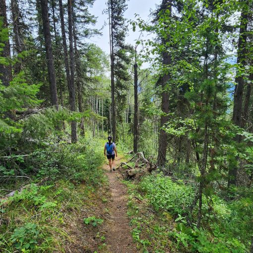
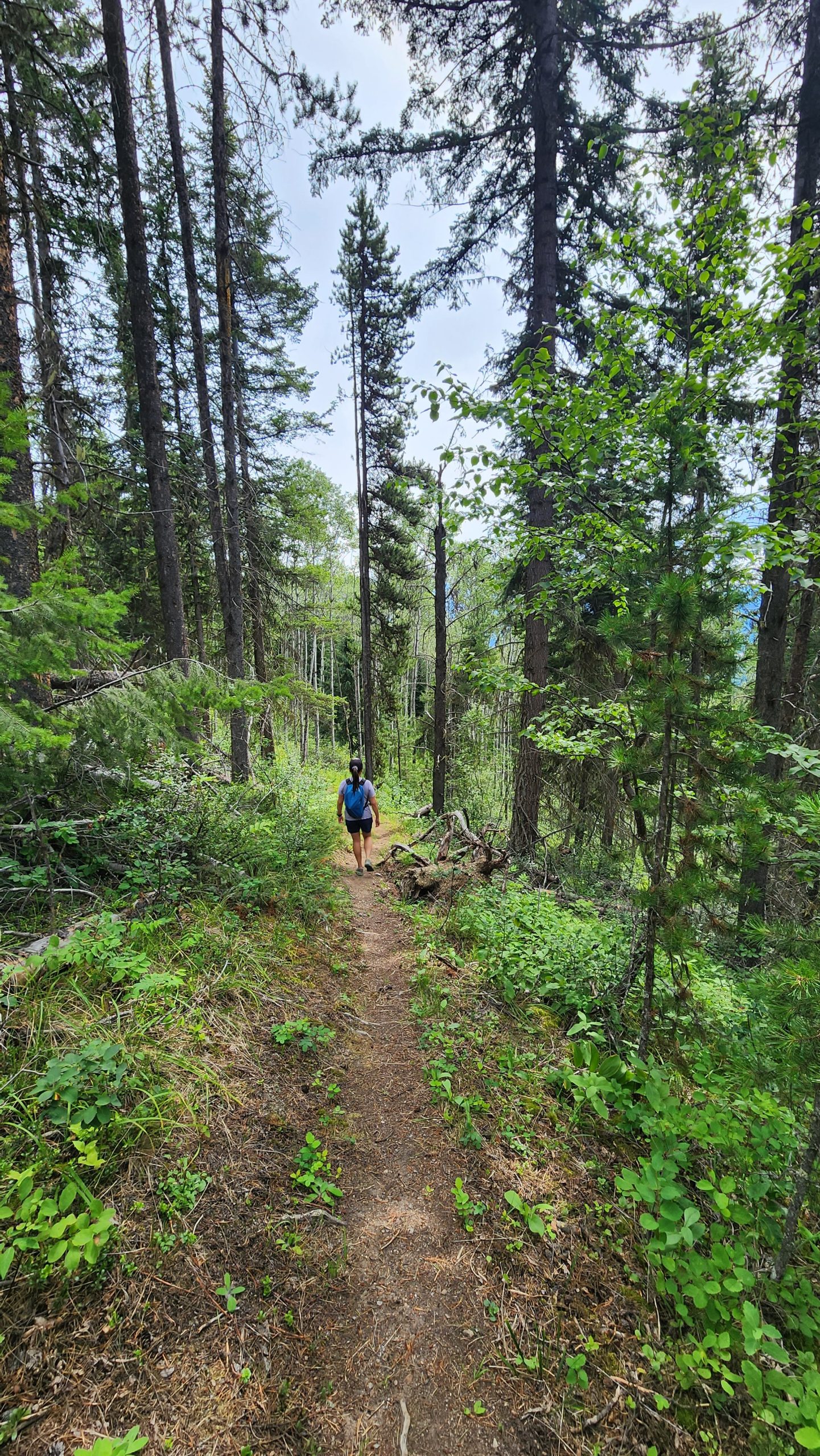
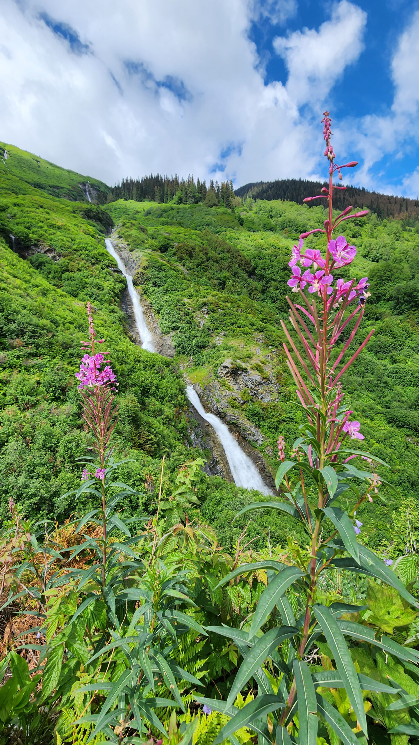
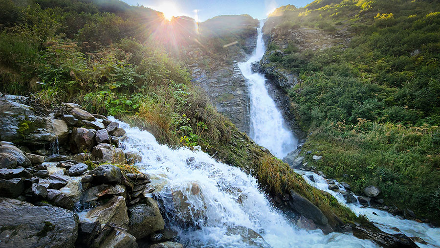
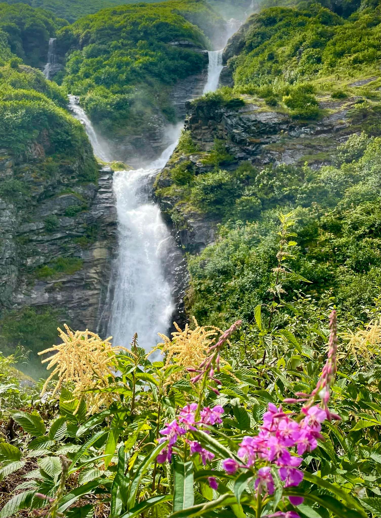
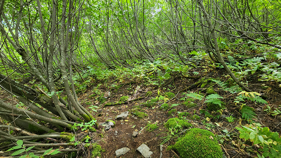
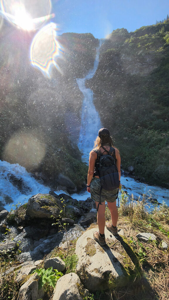
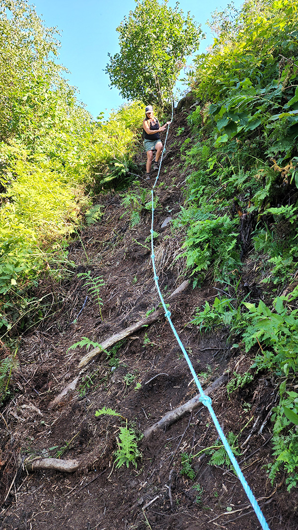
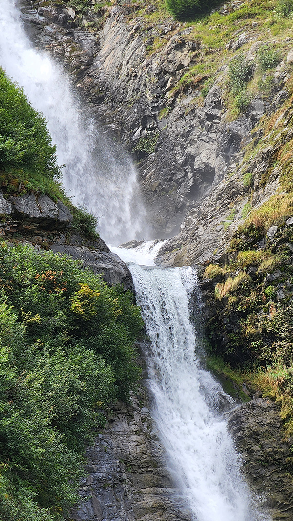
Is it Maui or Valemount? The Aloha trail is a recent addition to Valemount’s roster of hikes. After some locals discovered a route up to a series of gorgeous waterfalls, social media has exploded with photos of the “Hawaii, BC” hike. The route ascends through a slide area, meandering through thickets of slide alder before emerging onto a rocky look-out with views of glacier-fed waterfalls and Kinbasket Lake. Two rope-assisted routes also descend to the base of the waterfalls (the upper falls are accessible without ropes). The area has been used by residents to collect wild plants for some years, but thick underbrush made access to the waterfalls difficult. Additional clearing and wayfinding has now made the route an enjoyable 1-2 hour hike with stellar views.
Best Parts: World-class waterfalls, lush forest, views of glaciers, waterfall mist, and great photo opps.
Worst Parts: The trail is slippery when wet and it’s hard to grip unless you’re wearing good hiking boots. Hiking poles, good shoes and caution are recommended for these sections. Be sure to make lots of noise so you don’t surprise any bears. Stinging nettle grows plentifully along the edges of the trail, long pants are recommended.
How to access/where to park
Google Maps directions to trailhead (from Visitor Centre)
ROAD CURRENTLY CLOSED.
From Valemount, travel south on Whiskey Fill Rd to Canoe Forest Service Rd (signs for the marina). At the fork to the West Canoe Forest Road, turn right and follow that road until the 15km marker. The trailhead is about 20 feet prior to the marker. WARNING: There’s often active logging on this road. Heed signage and drive cautiously. RVs and Campers should not attempt this road as there is often no place to turn around.
Trailhead coordinates:
52.687851, -119.066831
(Insert into Google Maps or GPS)
GPS Tracks
(Right click, Save link as)
Download Trail GPX file

 Add to favorites