Easier to Medium Difficulty ![]()
![]()
Distance (return)
4.5km/2.8mi
(lake loop)
3.4km/2.1mi
(picnic area)
Approx. time
1.75-2.5 hr return
Elevation gain
120 m/400 ft (picnic area)
More
Details
Steepest grade: About 20%
High-clearance 4×4 advised to trailhead? No
Best seasons: Spring, summer, fall
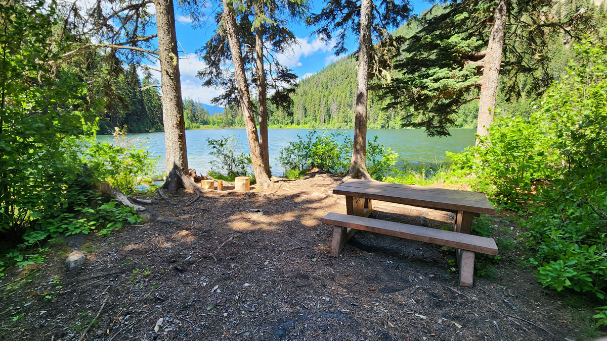
Closest public bathroom Outhouse at the lake
Cell service? Spotty
Gear to bring Bring 1L water per person and bug spray
Trail Description:
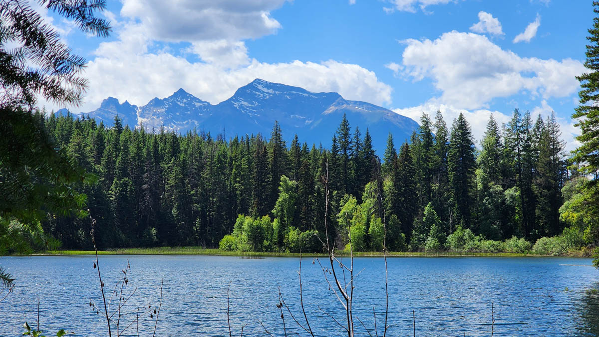
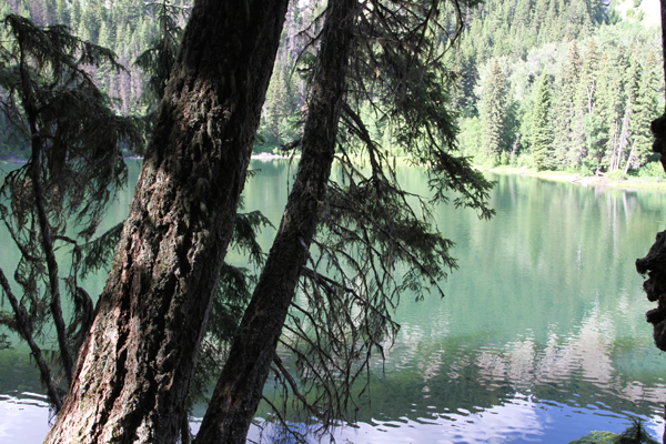
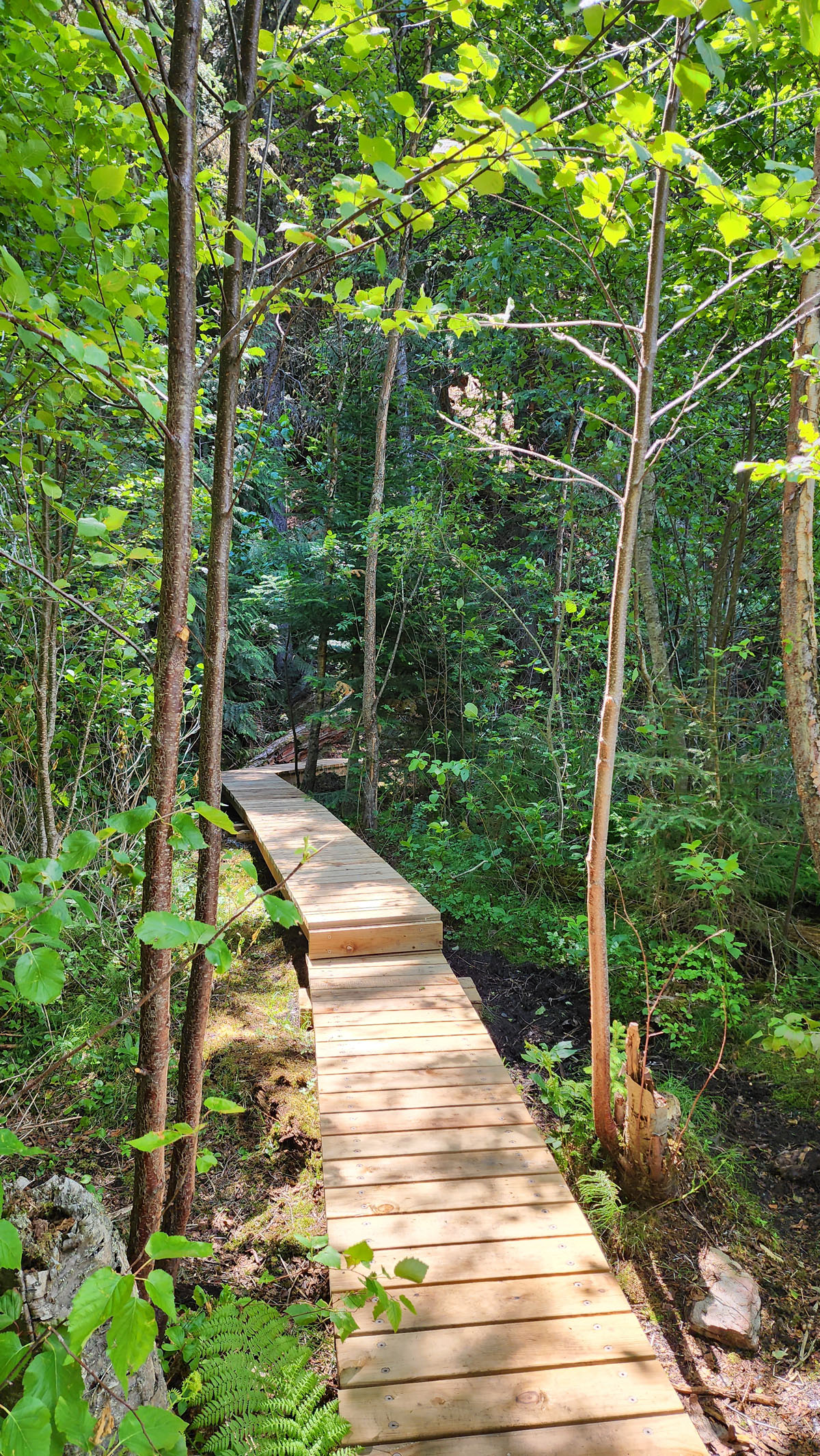
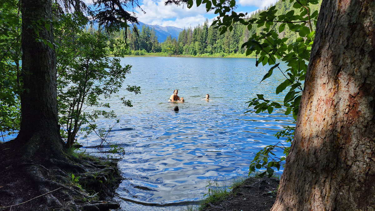
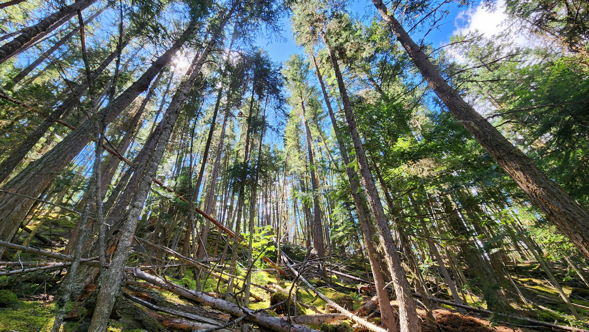
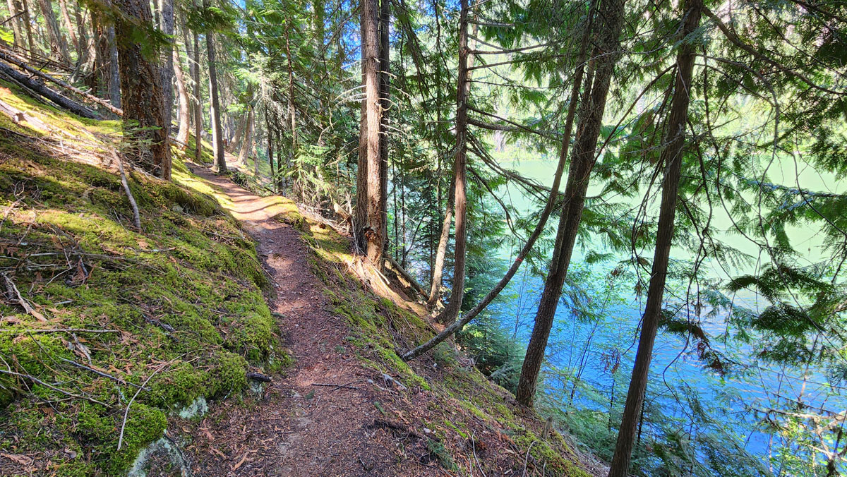
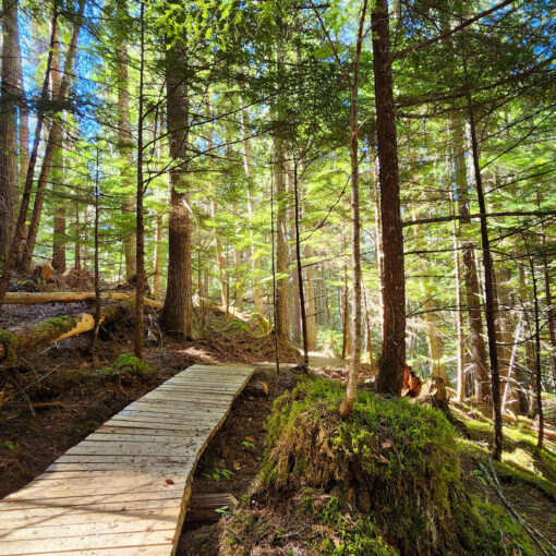
The Little Lost Lake Trail is a short family-friendly (1.7km hike) to the shores of a small lake. The trail starts with some uphill sections but levels out for the latter half. Once at the lake you’ll find two lovely picnic spots (the second being to your left along the lake shore) where you can enjoy your lunch, go for a dip, try your hand at fishing or just relax and take in the view. From the picnic spots one can continue around the lake (1.2 kms) where a picturesque forest and some very nice lake views can be enjoyed along the way. No fires are permitted.
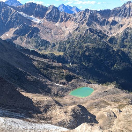
For those looking to get their heart rate up and don’t mind a climb on a minimally-maintained trail, you can head up the “Little Lost Grind.” The trail is quite steep and in poor condition, however. There is some exposure on this section of trail and it can be hazardous when wet. It should only be attempted by experienced hikers with good scrambling skills.
Best Parts: During summer, the lake is a great place to sunbathe and swim. There are picnic tables and an outhouse.
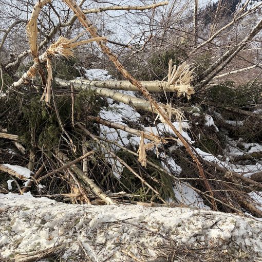
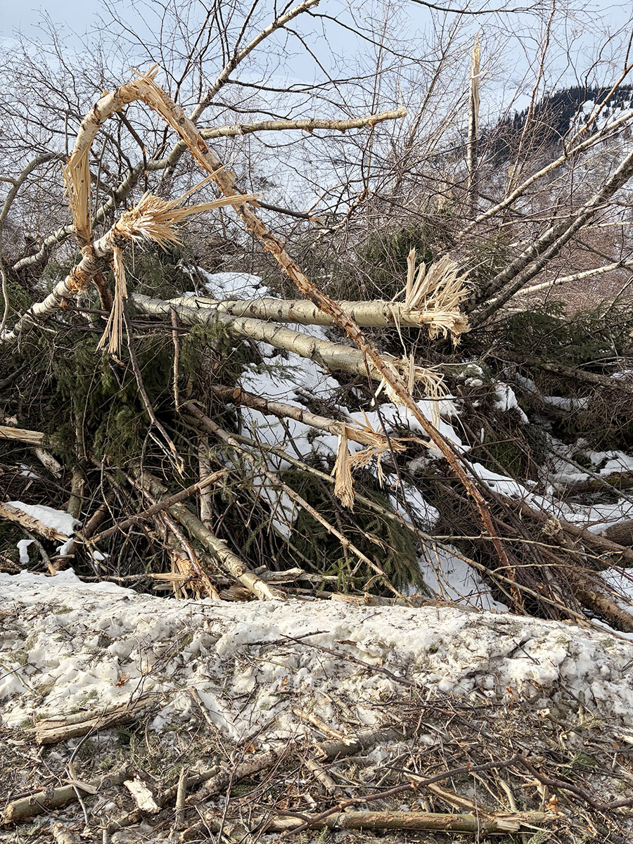
Worst Parts: If you do the hill climb (optional) there are very steep sections that are hard to grip without good hiking shoes. Hiking poles are recommended. Watch for falling trees. You’ll sometimes find yourself skirting around, over and under deadfall. Watch out: bears are sometimes spotted here. Make lots of noise so you don’t surprise them and they have time to leave. The mosquitoes are bad during summer – but nothing a little mosquito spray or net shirt can’t handle!
How to access/where to park
Google Map Directions
From Valemount, head north on Hwy 5 approx. 19km. Merge onto Hwy 16E at the Tete Jaune junction (follow Jasper signs). About 1.5km east, park at the avalanche control gates (the first pull-out after the weigh-scales). Cross the hwy with caution, backtrack about 30 feet, and look for the trailhead sign among the trees.
Trailhead coordinates: 52.978960°, -119.397232°
(Plug coordinates into GPS or Google Maps search bar)
GPS Tracks
(Right click, Save link as)
Download Trail GPX file

 Add to favorites