Hard Difficulty![]()
Distance (return)
9 km/
5.6 mi
Approx. time
6-7 hrs return
Elevation gain
700 m /
2296 ft
More
Details
Steepest grade: 30%+
High-clearance 4×4 advised to trailhead? Yes
Best seasons: late June to late Sept
Closest public bathroom Outhouse near the cabin
Cell service? Spotty
Gear to bring Bring 2L water per person, bear spray and bug spray
Trail Description:
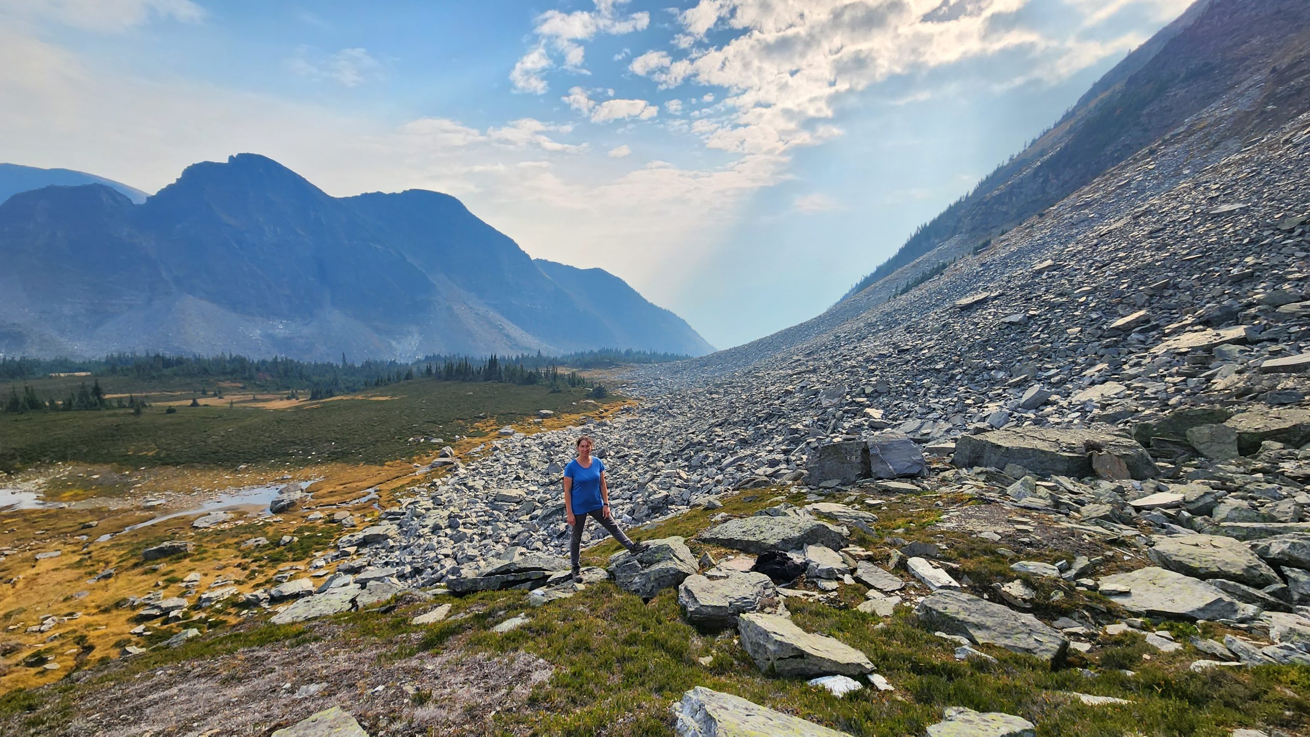
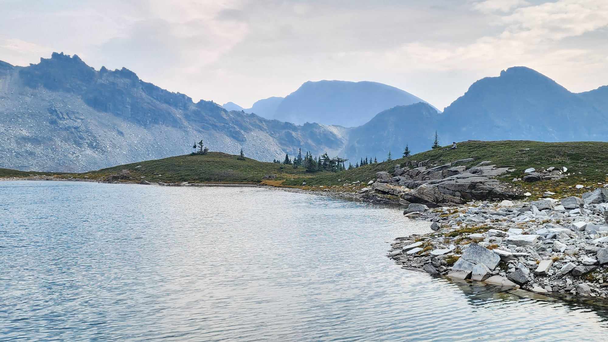
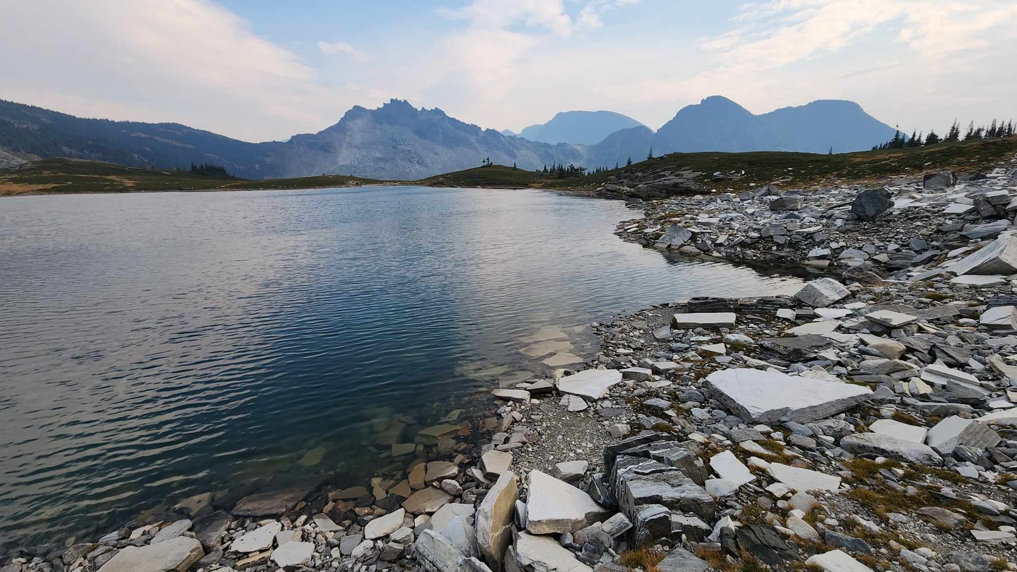
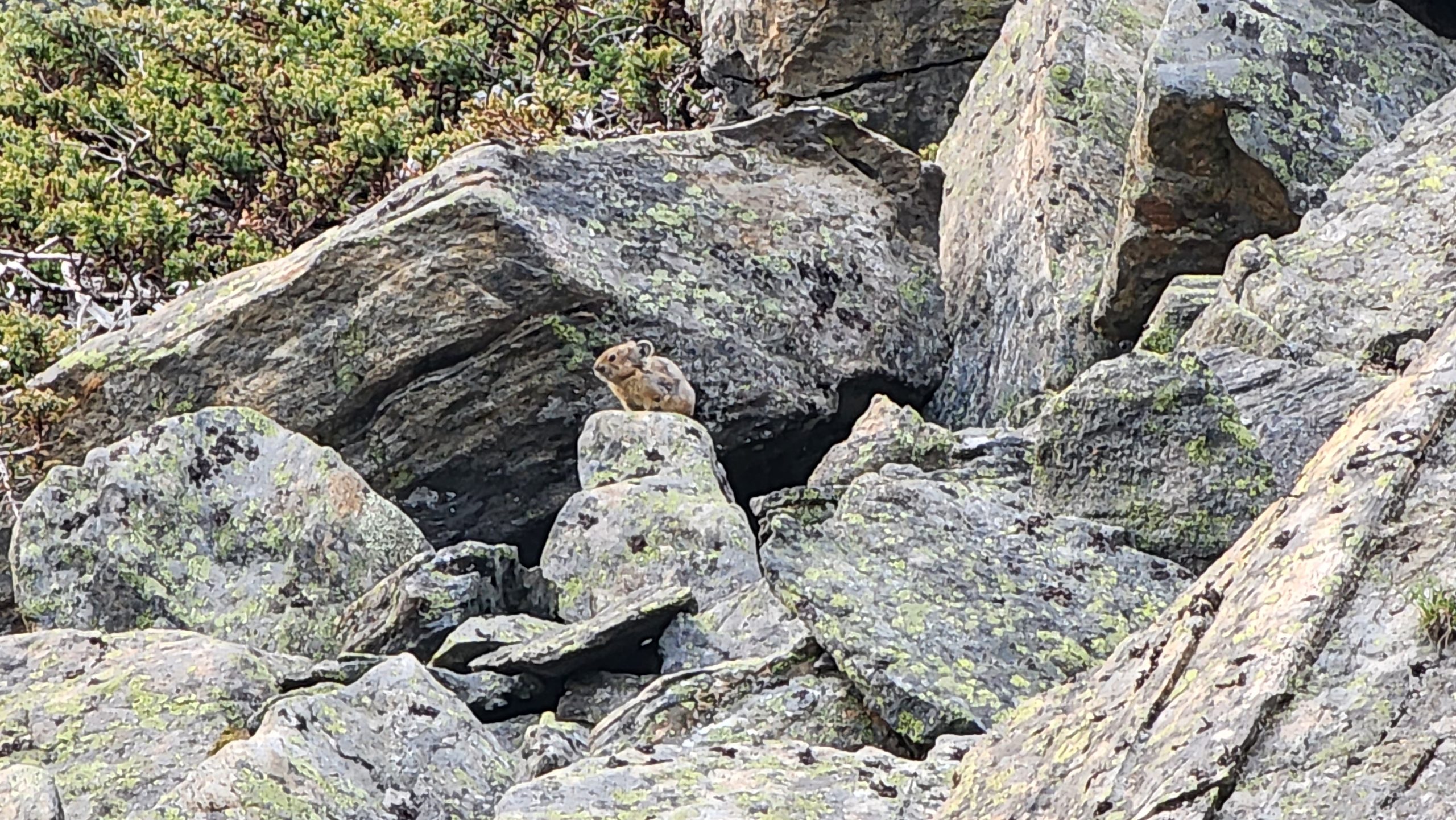
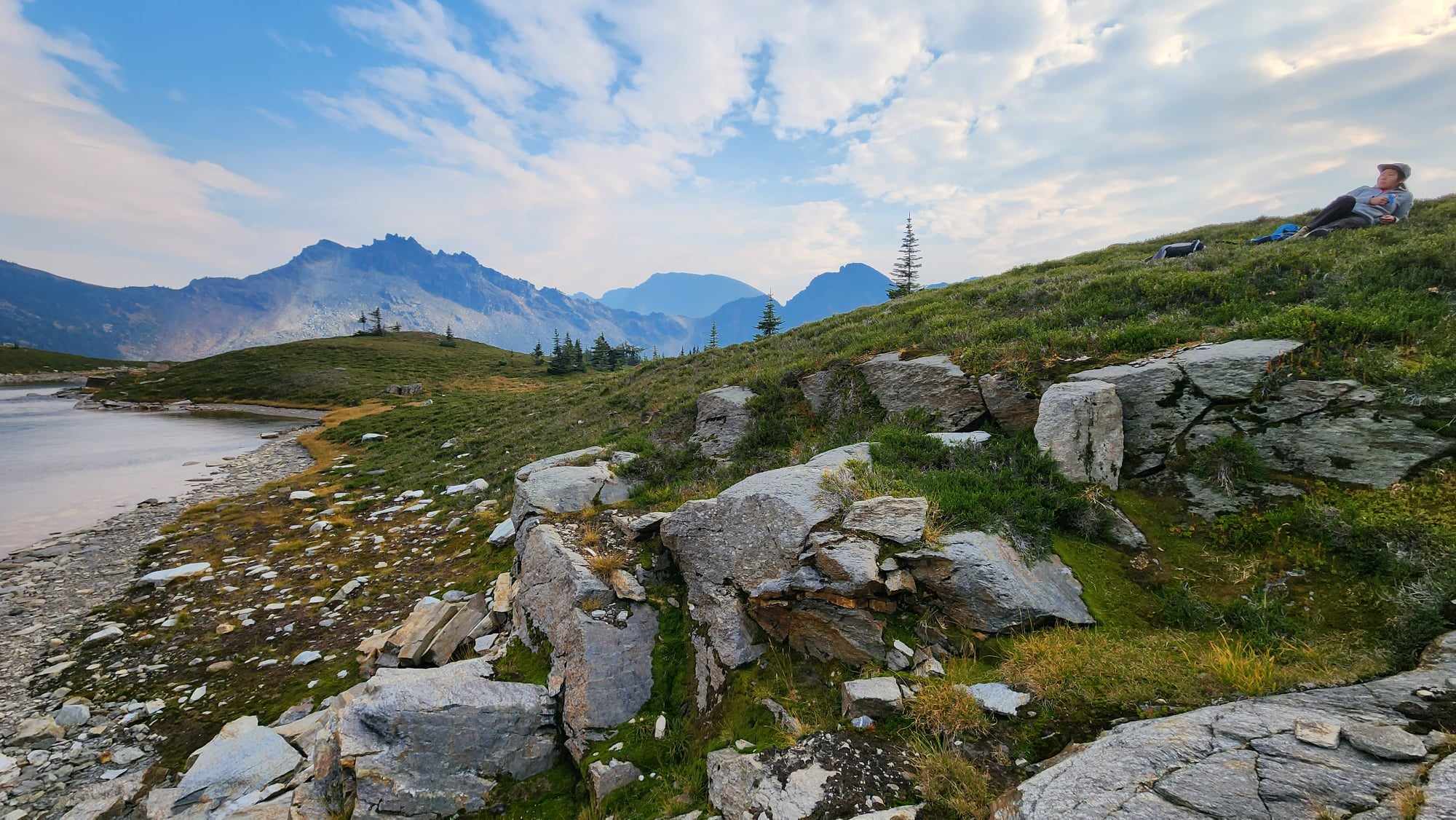
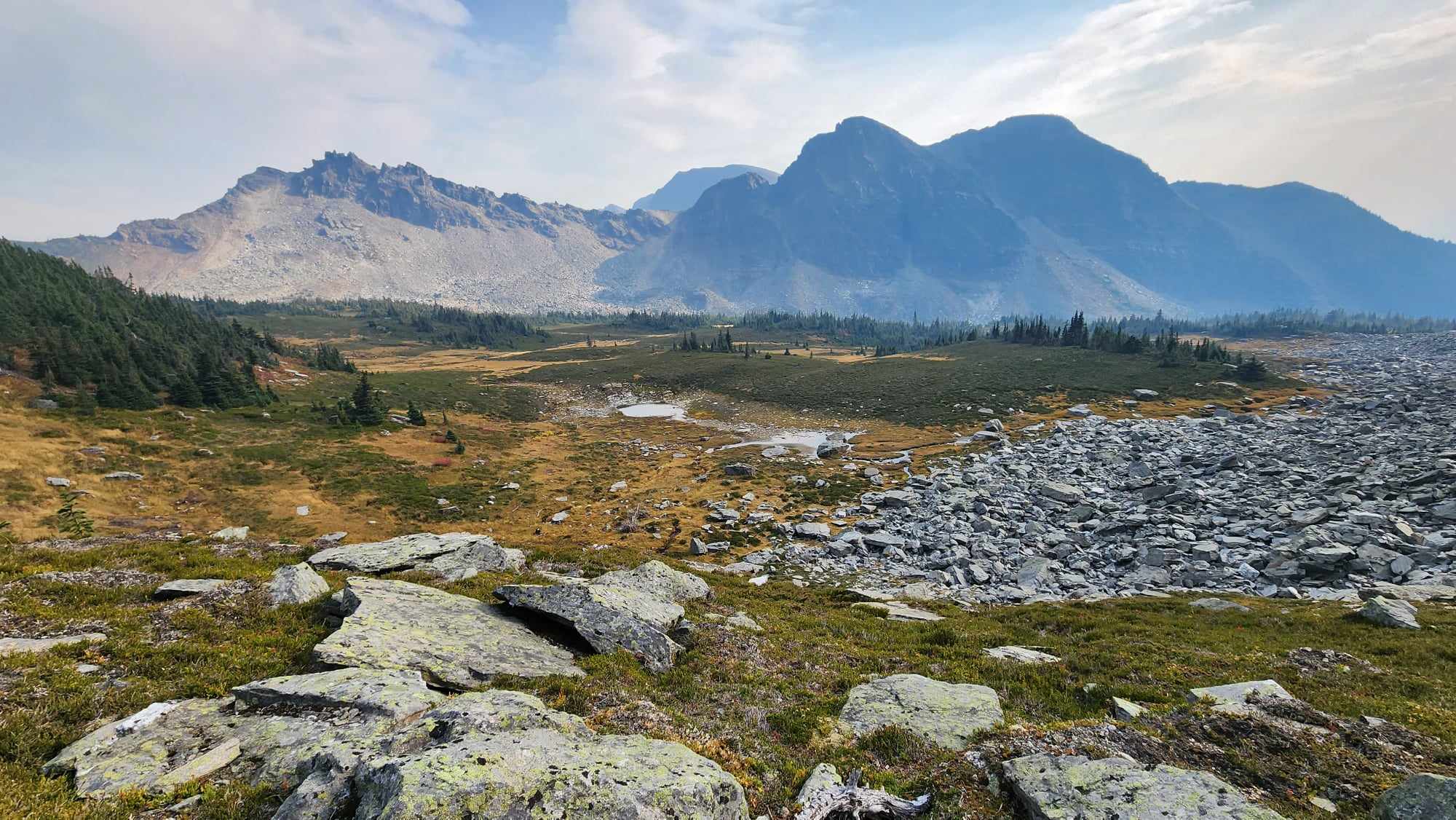
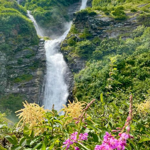
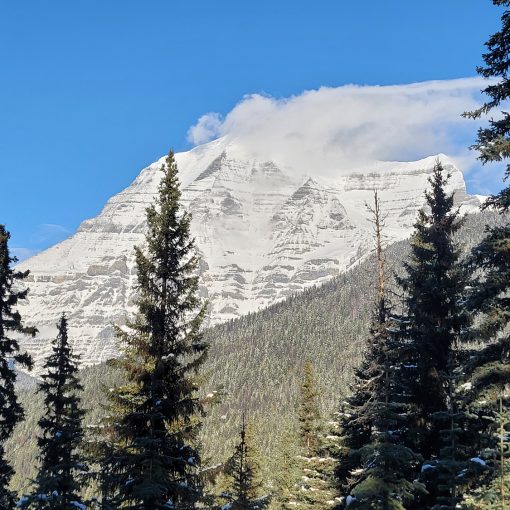
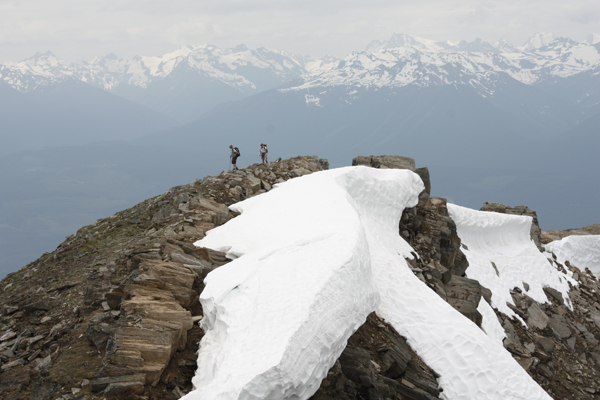
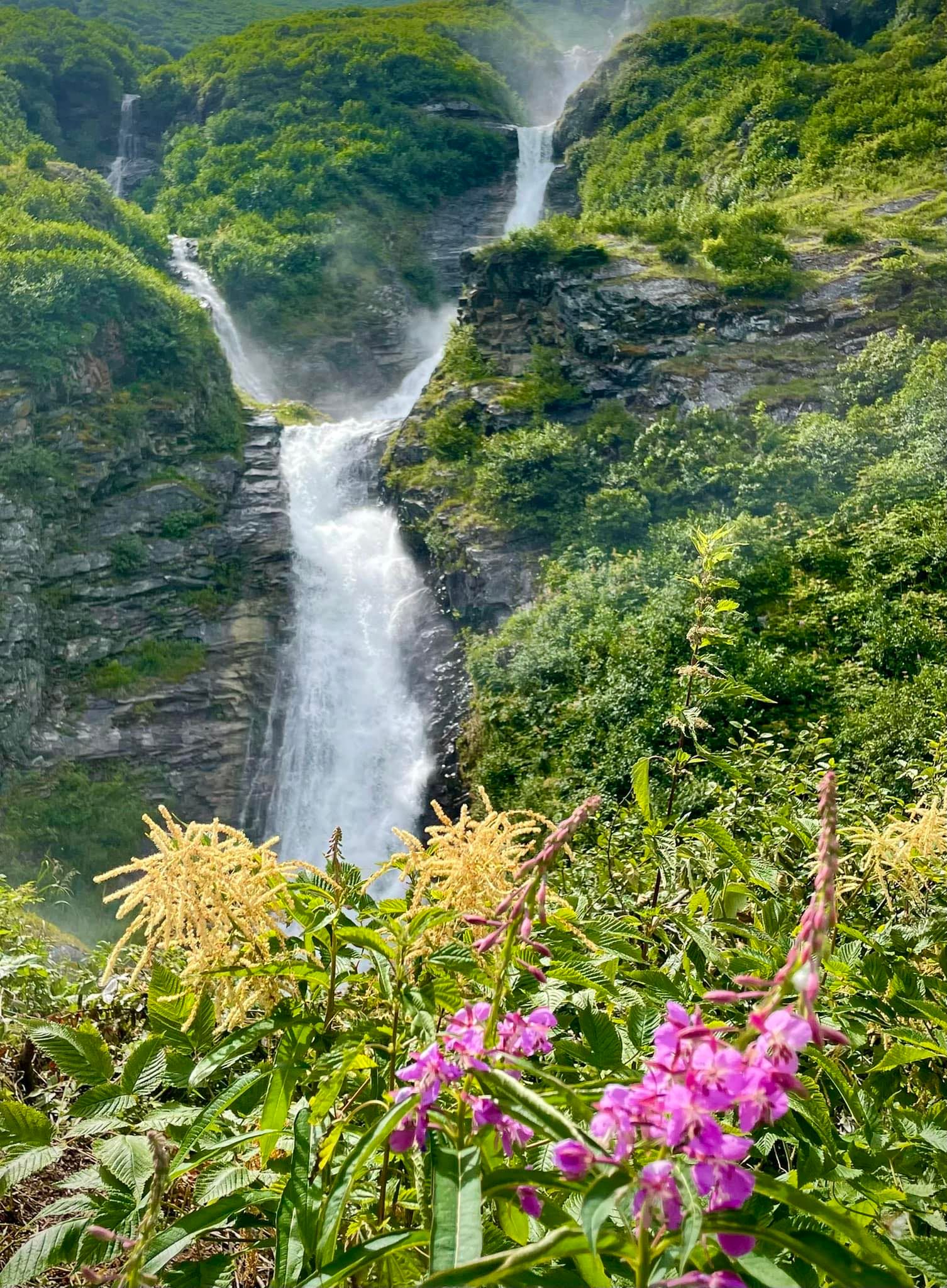
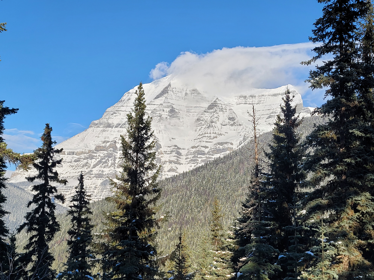
This newer hiking trail makes use of an existing ski touring cabin and climbs to an alpine basin with stunning lakes, mountain peaks and boulder fields. The current trail involves some route-finding at various points where the flagging ends and some gingerly crossings of rotten bridges, but once it’s brought up to the same standard as other local trails, it will be another fantastic offering in Valemount’s hiking roster. The distance of this trail is deceiving – only 4.5km to the back of the basin where you’ll find three scenic alpine lakes below a ridge. It’s the elevation (700m), the sidehilling, and the boulder hopping that make it more varied and strenuous. At a slow and steady pace, with short breaks, one can ascend to the lakes in just under four hours, and half that to descend. The alpine basin is pristine and lovely, with streams flowing under the alpine peat in one area, and tablets of white rock in another. An inviting alpine meadow crests up to one of the ridges.
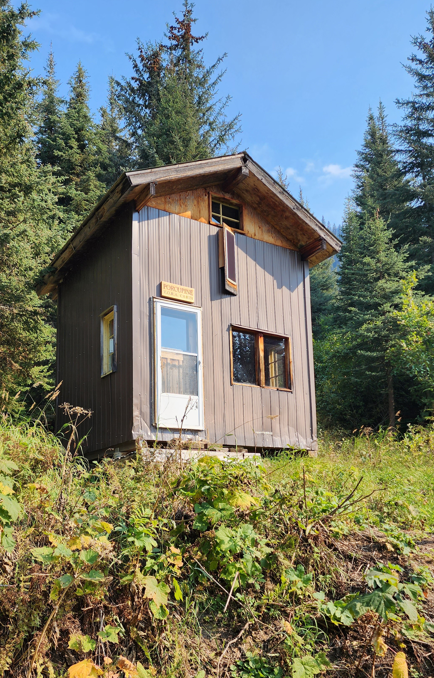
Cabin details: Porcupine Cabin (near trailhead) sleeps 4 comfortably and foamies are available. There are some pots, pans, dishes and wash basins. A cooking stove is provided but you must bring your own propane (green canister available at most grocery and hardware stores). Indoor wood stove and firewood outside of the cabin. Cabin can be booked by calling 566-8244 (250 area code).
Best Parts: Ethereal views of the surrounding mountain peaks, a massive boulder field and alpine lake.
Worst Parts: Scrambling around boulders takes patience and agility. The trail markers are sometimes hard to spot.
How to access/where to park:
Google Map directions
(to hwy turnoff only!)
Map of access road here
Locating the trailhead is a bit tricky. On Hwy 5, just before Clemina Creek (52.604699, -119.114120), there is a pipeline/ logging road that ascends steeply (on the left if you’re heading south). About 3km down the road, there’s another steep FSR on your left with a very small hiker symbol marking it. Take this road several more km until you pass a large ditch (high clearance essential) and about 1km beyond that is the trailhead, marked by a yellow sign with a cabin and YORA.
Trailhead coordinates
52.59122, -119.07584
(Insert into GPS)
GPS Tracks
(Right click, Save link as)
Colley Lakes Trail
Access Road (pending)

 Add to favorites