Hard Difficulty![]()
Distance (return)
9.6 km / 6 mi
Approx. time
6–8 hrs return
(accessing the trailhead takes ~30mins more from Valemount)
Elevation gain
1034 m / 3392 ft
More
Details
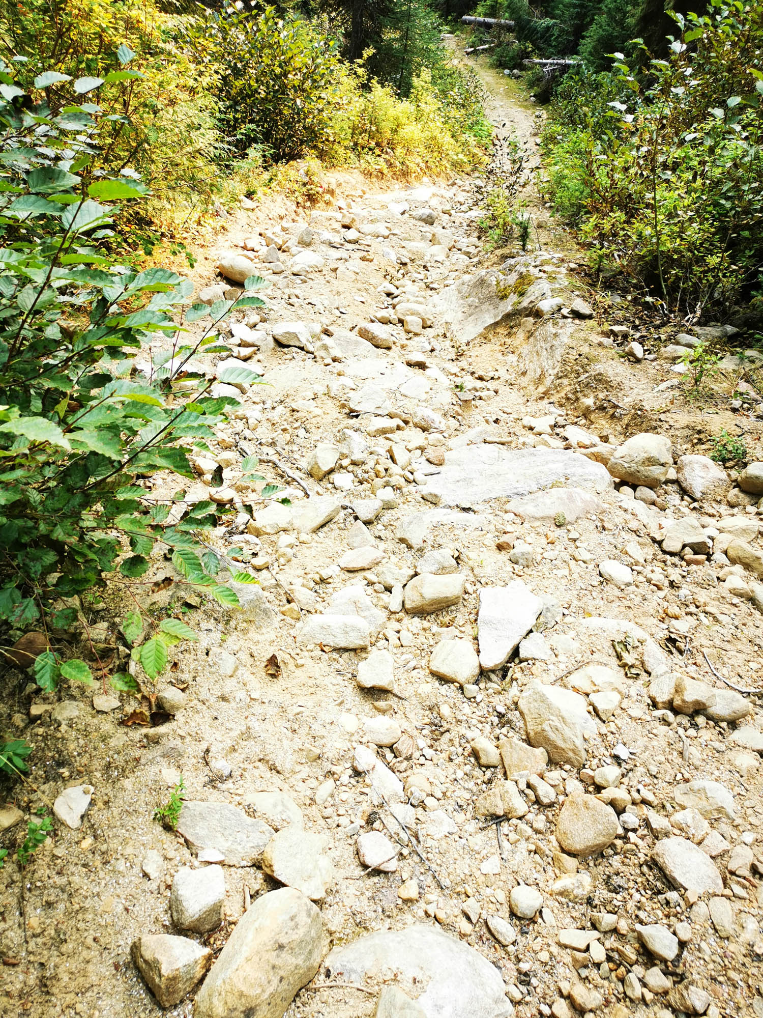
Steepest grade: 30%+
High-clearance 4×4 advised to trailhead? Yes
Best seasons: late June to late Sept on a clear day
Closest public bathroom None nearby
Cell service? Spotty
Gear to bring Bring 2L water per person, bear spray and bug spray
Trail Description:
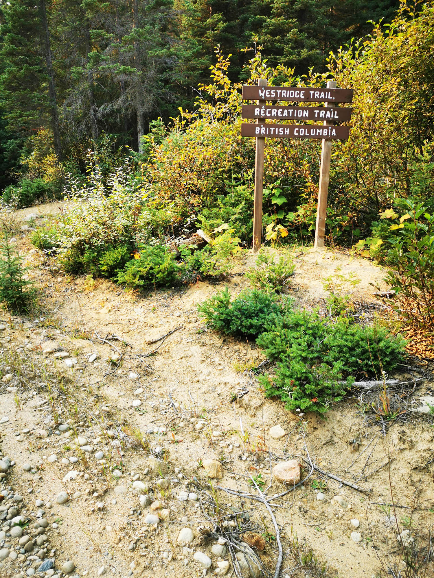
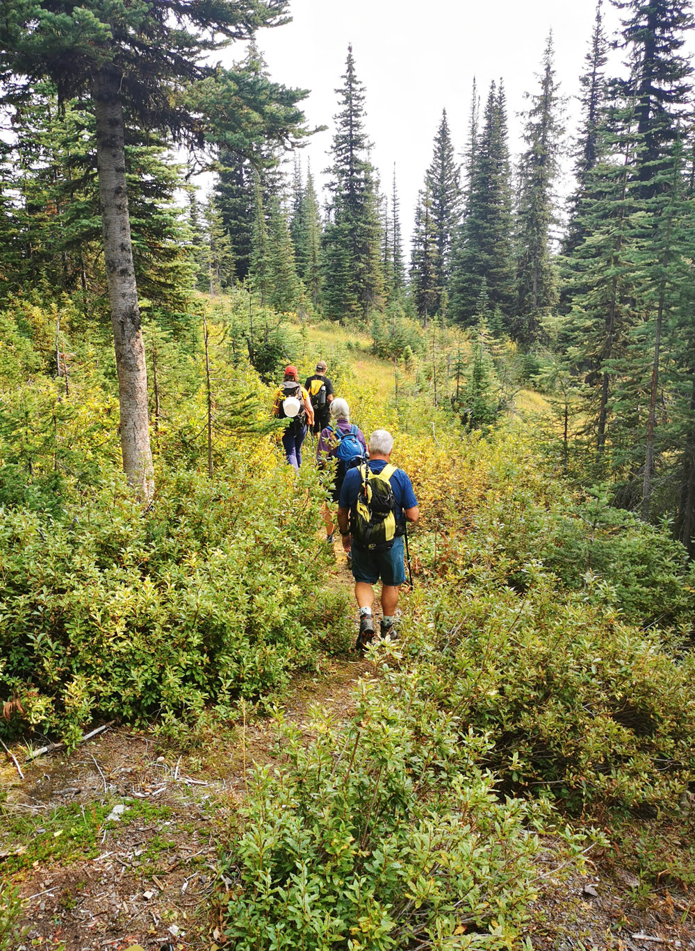
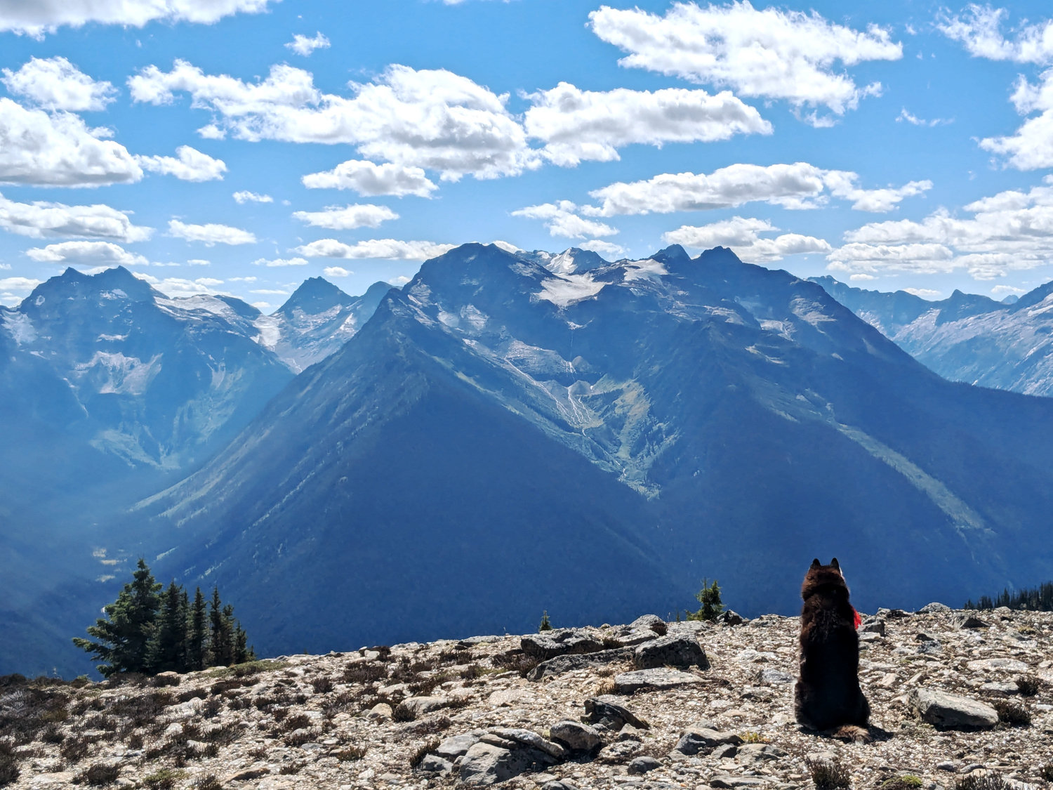
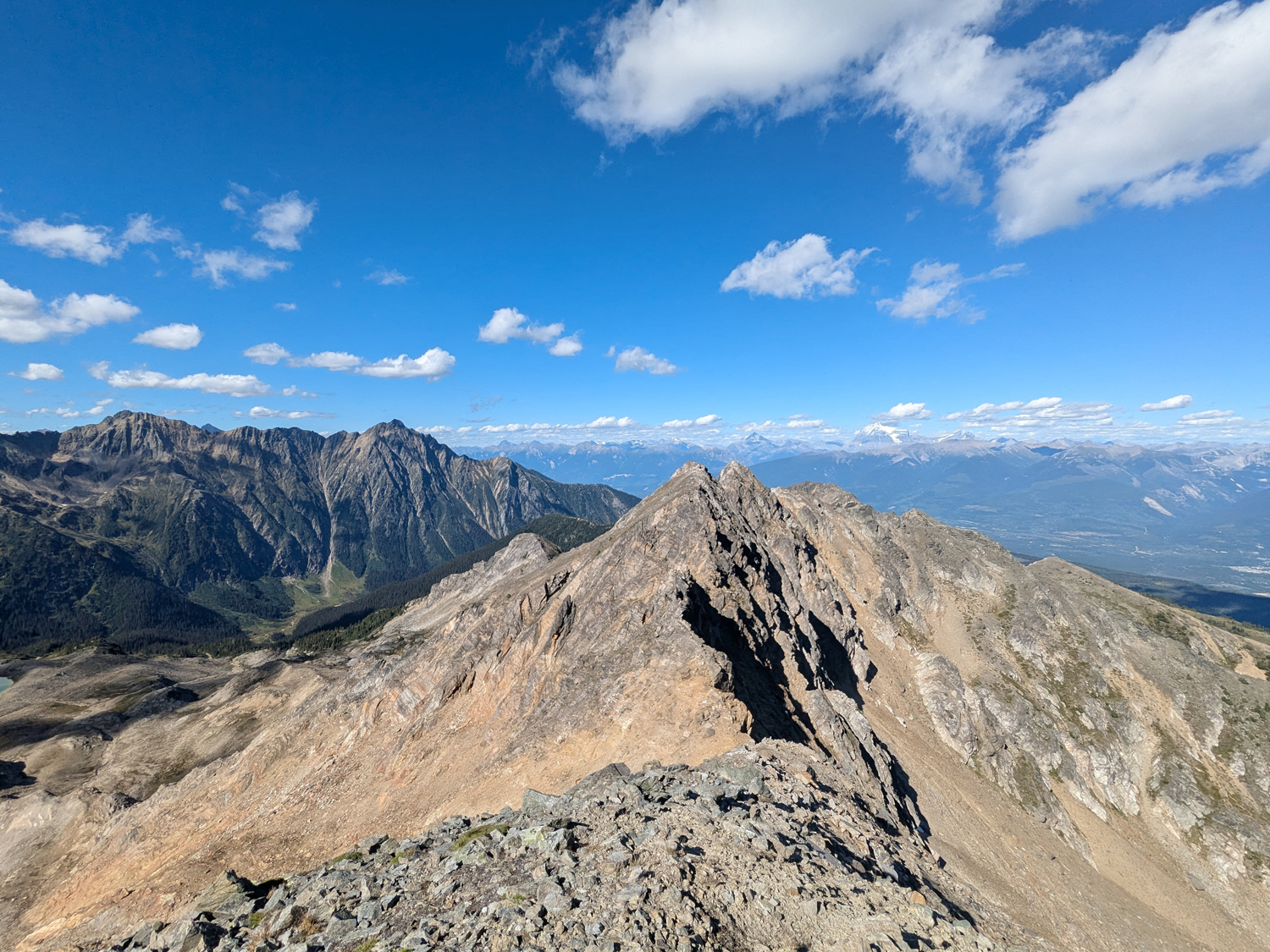
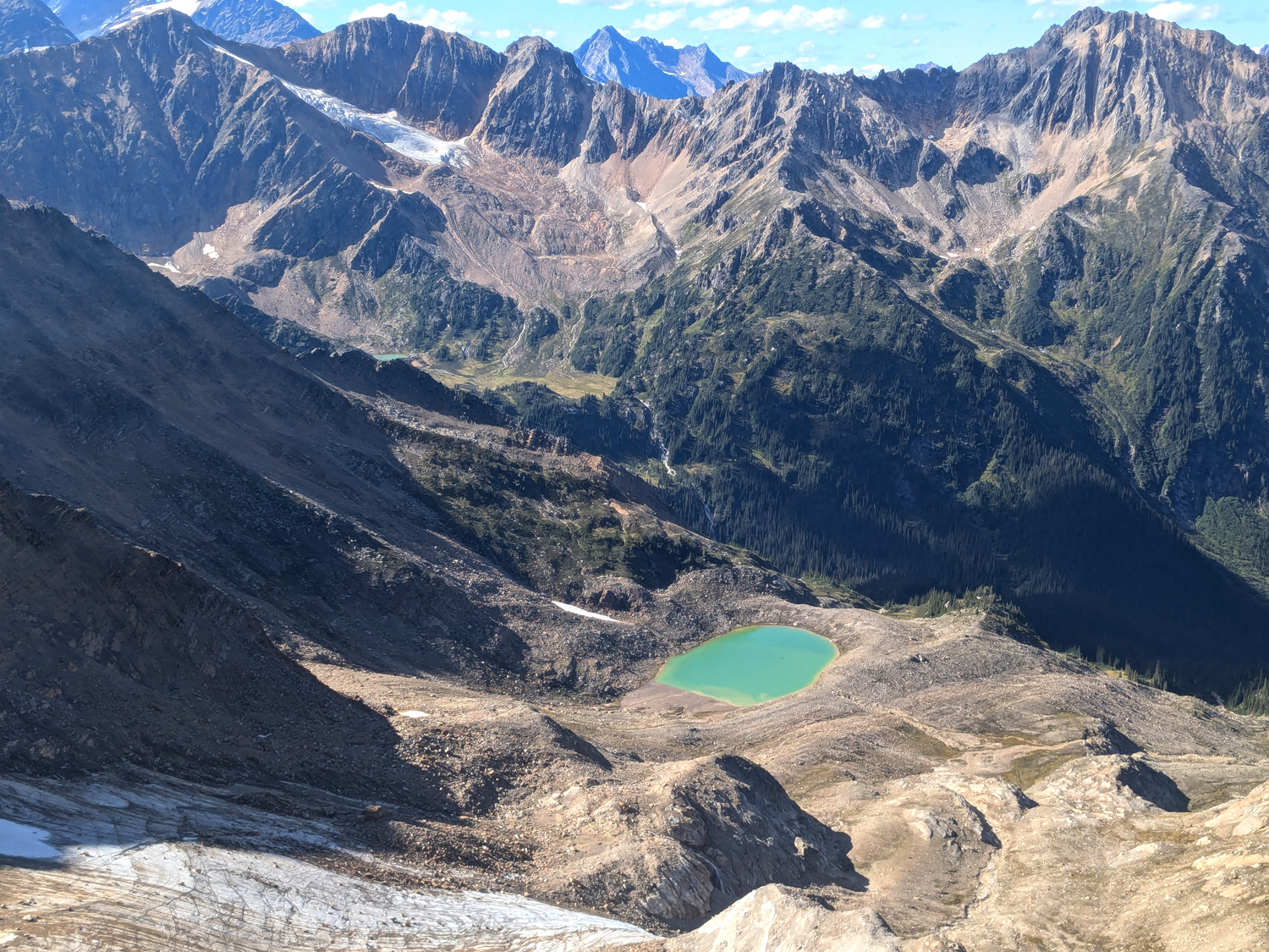
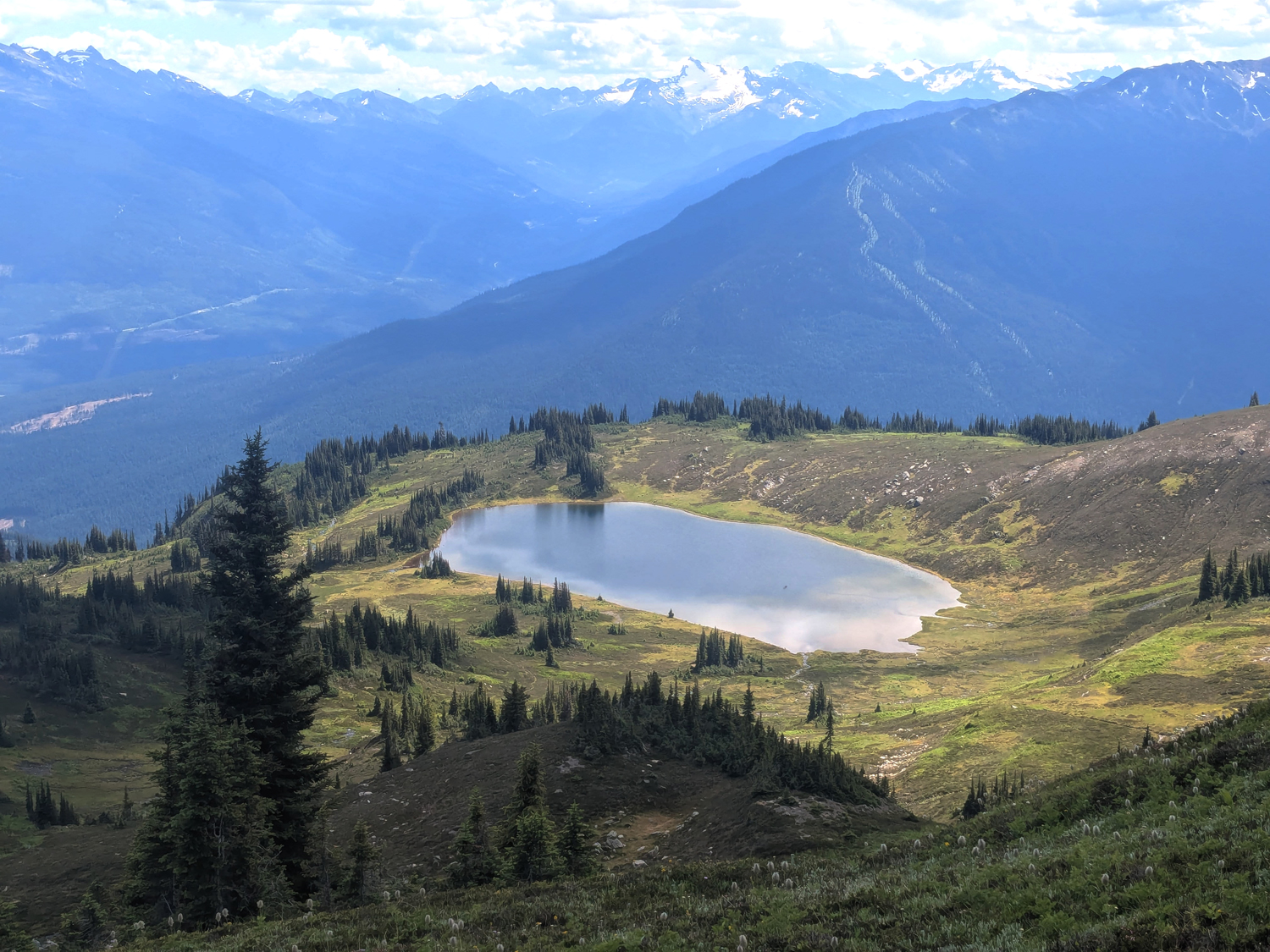
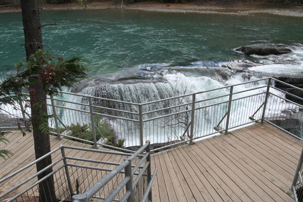
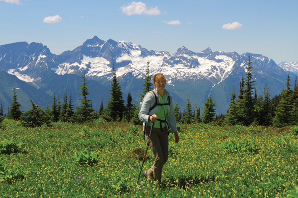
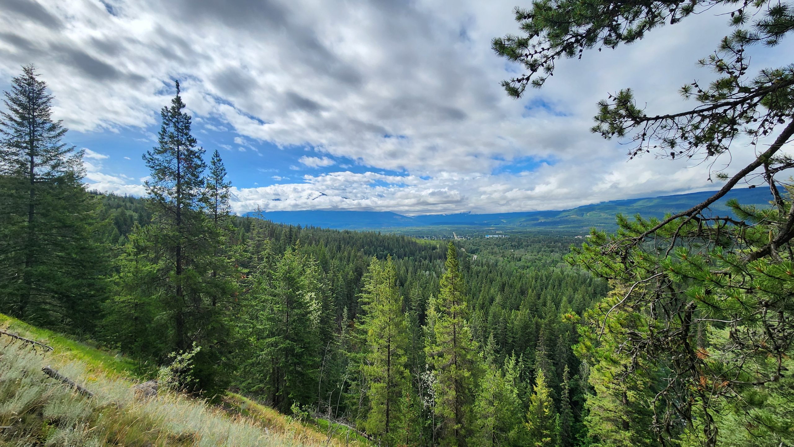
The Westridge Trail is an old trail but has recently been revitalized thanks to the hard work of local hikers and members of Y.O.R.A. This steep trail may feel like a relentless climb, but it affords access to a backcountry cabin, lovely alpine lake, rugged mountain peaks and views of the valley far below.
Best Parts: The views, rustic cabin shelter (no outhouse or provisions), and alpine lake.
Worst Parts: The trail is steep and climbs 1000m before you reach the lake. There is also loose rock on parts of the trail. As always, carry bear spray and make noise so bears have time to leave to avoid an encounter.
How to access/where to park
Google Maps directions
From the Visitor Centre, head south on Hwy 5. Turn right onto Canoe River FSR (keep left at the fork to head southwest). Follow this road 12.4km until you see the trailhead sign on your right. Make sure to park as far as possible off the road so other traffic can still pass.
Trailhead coordinates
52.73523729808893°, -119.36817169189455°
(Insert into Google Maps or GPS)
GPS Tracks
(Right click, Save link as)
Westridge Trail GPX

 Add to favorites