Easy Difficulty ![]()
Distance (loop)
5.5 km/3.4 mi
Approx. time
2hrs
Elevation gain
minimal
More Details
Steepest grade: Mostly flat
High-clearance 4×4 advised to access trailhead? No
Best seasons: Spring, summer, fall
Closest public bathroom Best Western Hotel (customers only) or Visitor Info Centre
Cell service? Yes
Gear to bring Bring 0.5L water per person, bear spray and bug spray
Trail Description
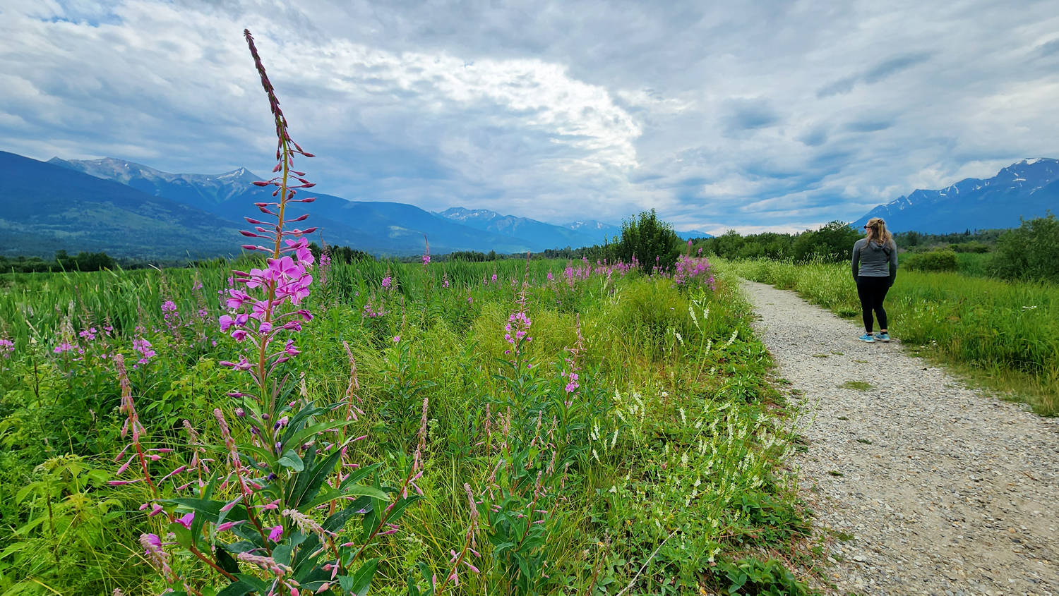
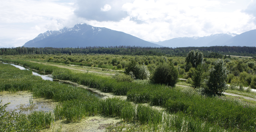
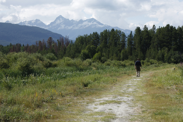
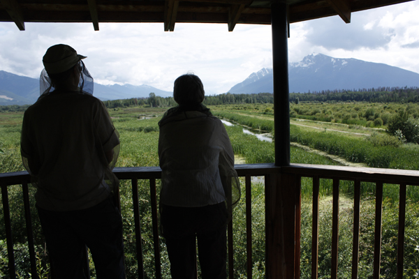
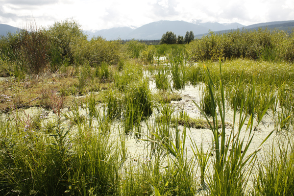
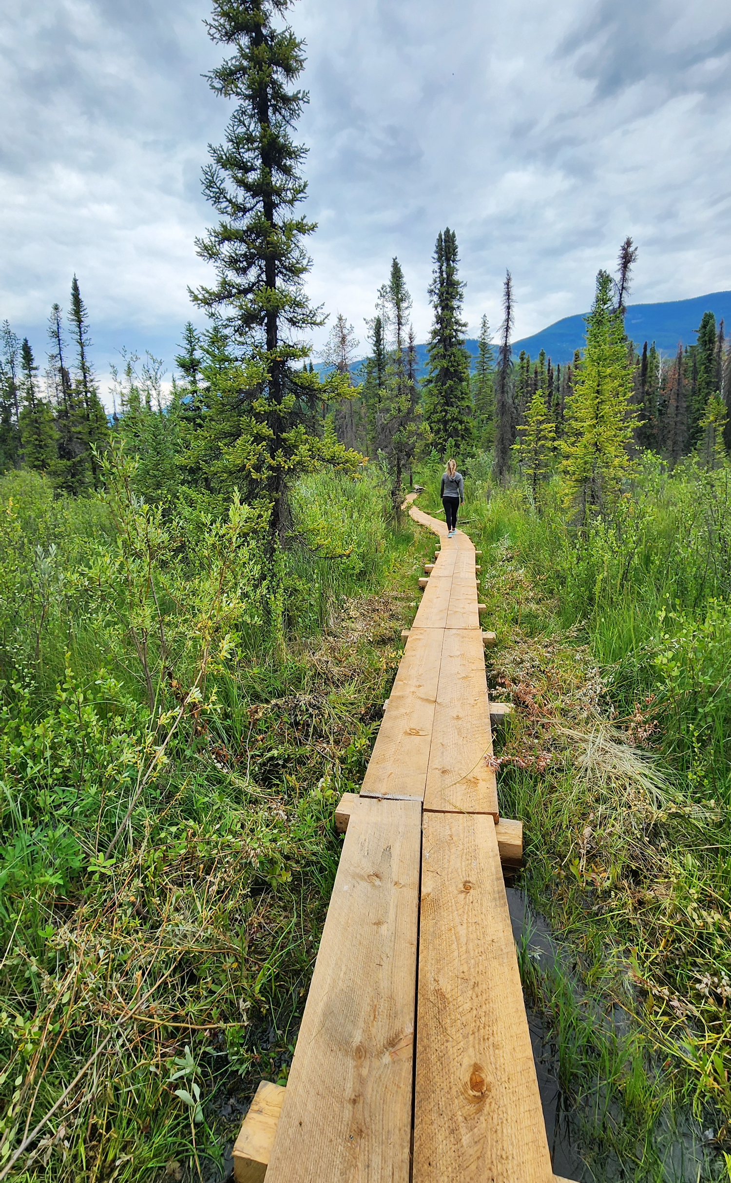
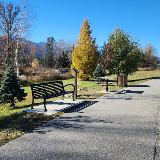
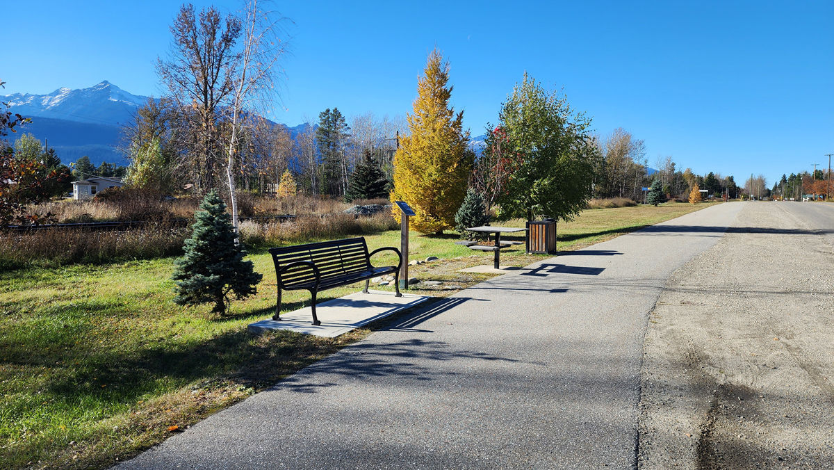
The Cranberry Marsh or the Starratt Wildlife Management Area is a stunning nature haven – birds, ducks, muskrats, beavers, dragonflies make their home here. There is great berry picking in late summer. You can ski or snowshoe the trail (and the frozen marsh) in winter. The dyke, located just 100 feet or so from the Best Western Parking lot, is great for someone with limited mobility. From here, you can stroll along the dyke and bird watch, climb the viewing tower and see the nesting islands from above, or do the entire loop which will take just under 2 hours at a moderate pace. As of summer 2025, a temporary boardwalk has been installed on the south side to bridge a flooded area.
Best Parts
The wildlife viewing is incredible especially in springtime. Two viewing towers give you an overhead vantage.
Worst Parts
If the weather has been wet recently, some parts of the trail may be mucky. The mosquitoes can also be bad during the summertime – but nothing a little mosquito spray or net shirt can’t handle. Watch out, bears are sometimes spotted along this trail during spring and summer. Be sure to make lots of noise so you don’t surprise them.
How to access/where to park:
Hwy access (Best Western): Highway turn-off is the same as for the Best Western hotel. Trailhead at far end of the parking lot adjacent to hwy. Google Directions Trailhead coordinates: 52.815450°, -119.270077°
Town access (sewage lagoon): From downtown, follow Ash St until it reaches a dead end (cul-de-sac). Park here and locate the trail signs. Google Directions Trailhead coordinates: 52.819133°, -119.258308°
Town access 2 (boat launch): From Ash Street, turn left at 13th and left again at McKirdy road. On your right, you’ll see a sandy parking area with picnic table. Google Directions Trailhead coordinates: 52.820472°, -119.241927°
Trailhead coordinates
(See above)
GPS Tracks (Right click, Save link as)
Download Trail GPX file

 Add to favorites
