Hard Difficulty![]()
Distance (return)
9.65 km /
6 mi (ridge)
Approx. time
6–8 hrs return
(accessing the trailhead will take approx. 45mins from Valemount)
Elevation gain
3343 ft /
1018 m
More
Details
Steepest grade: 30%+
High-clearance 4×4 advised to trailhead? Yes
Best seasons: late June to late Sept on a clear day
Closest public bathroom None nearby
Cell service? Spotty
Gear to bring Bring 2L water per person, bear spray and bug spray
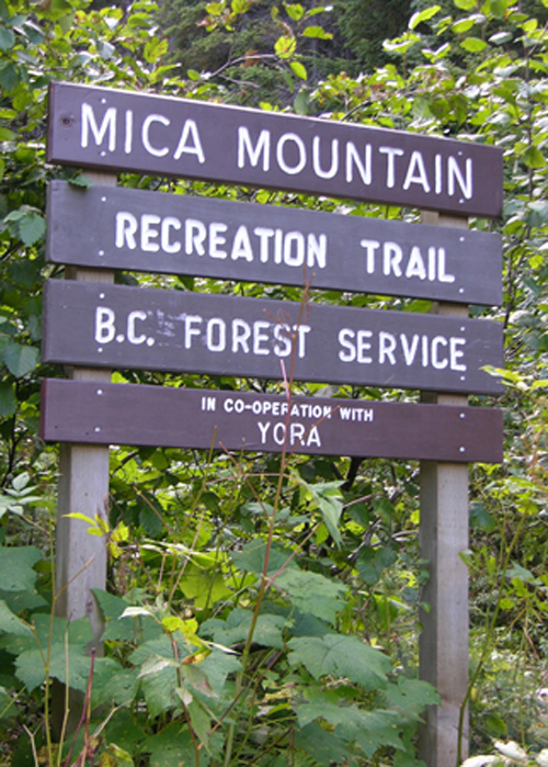
Trail Description:
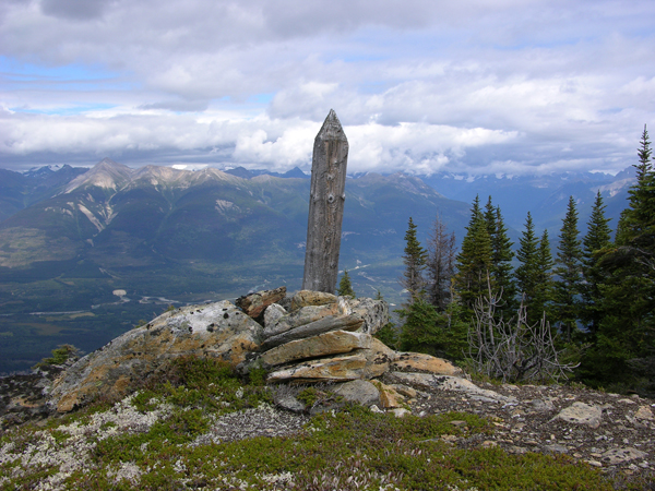
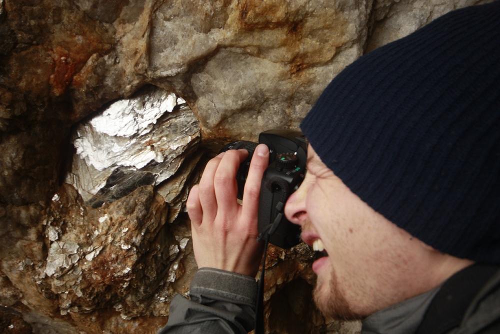
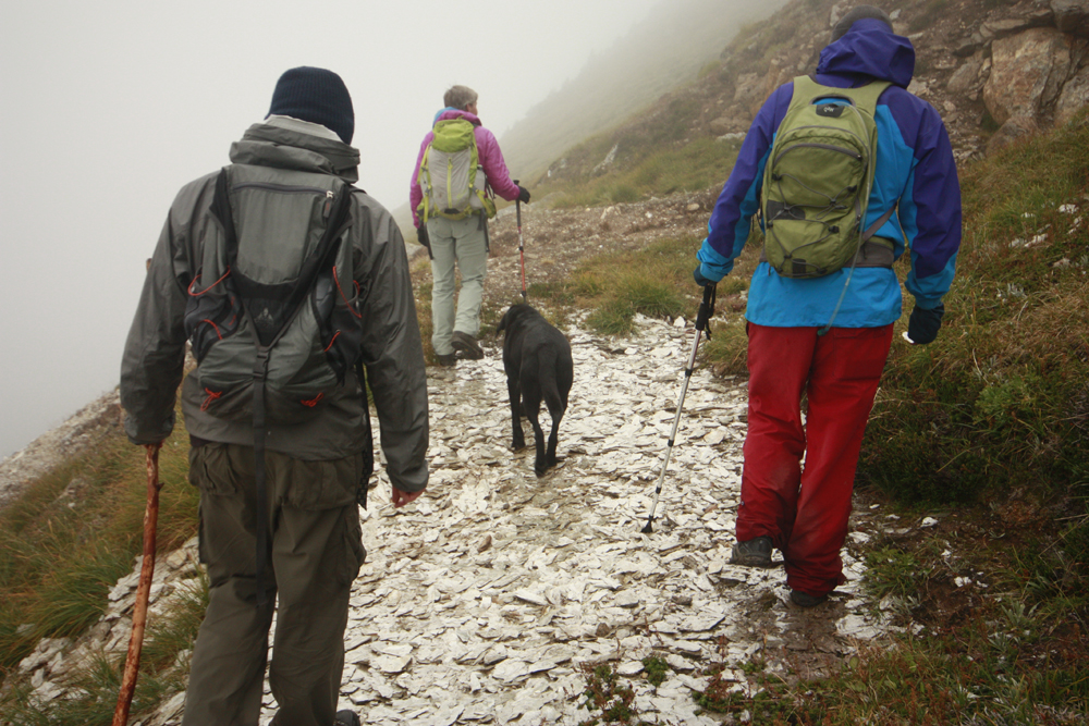
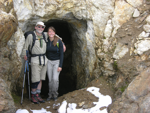
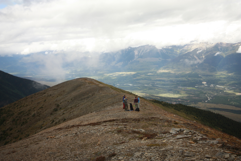
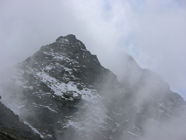
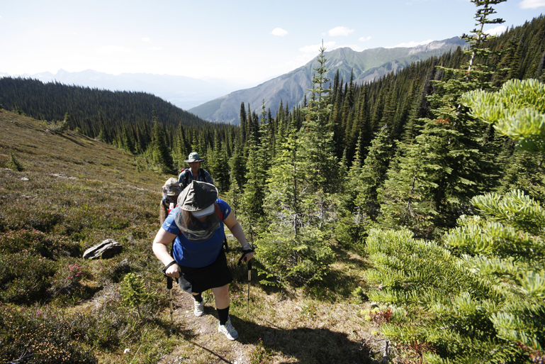
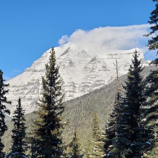
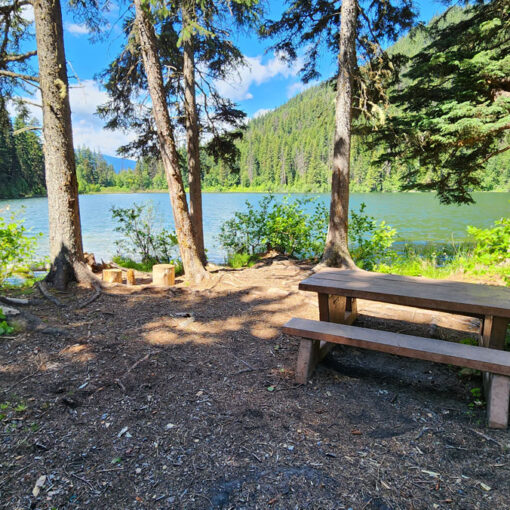
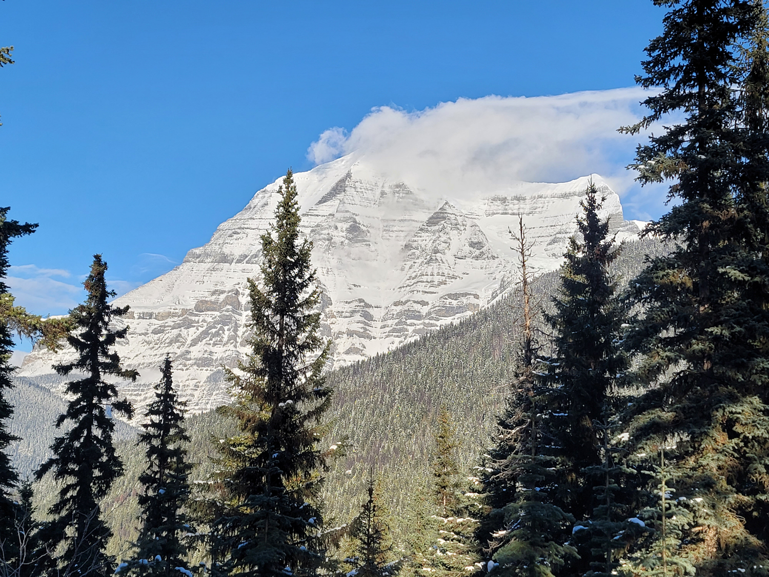
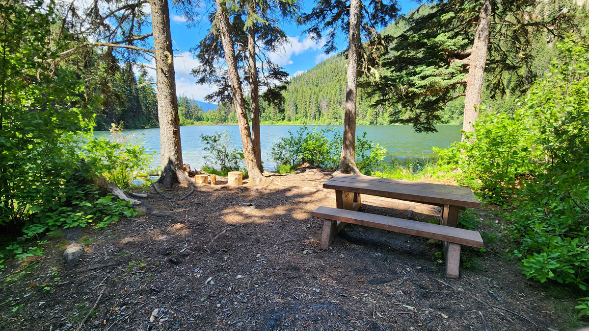
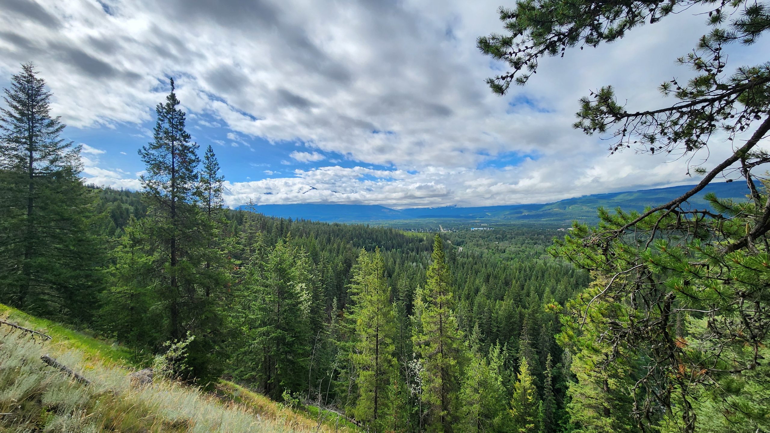
As you climb up the steep, narrow trail of Mica Mountain, picture a laden mule just in front of you. Imagine its cart full of mica flakes shoveled out from the 30 degree hillside at 7000 feet. The bottom part of the trail is in the forest, but once you get to the alpine, the trees disappear completely. On cloudy days the alpine can be foggy, wondrous too, when your footsteps lead you to what looks like a pond of glassy rocks. The rocks shimmer like hundreds of tiny mirrors. This is where they loaded the mules. To your right is the old mine site. Mica was used for lining wood stoves and insulation early last century. From the mine you can scale the steep hillside to the ridge (no trail). This ascent is steep enough to cause vertigo. On a clear day from the ridge you can see all the way to Mt. Robson as well as the Robson and Canoe Valleys to Kinbasket Lake. Someone has constructed a picnic table and roofless shelter out of rock slabs on the ridge. The peak? Still far away, hidden behind sub-peaks and clouds.
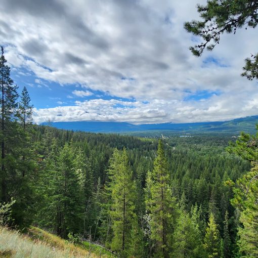
Best Parts: The Mica Mine is of course one of the most unique and amazing parts of this hike, but so is the perspective of the Robson and Canoe Valleys. You can see Mt. Robson and Kinbasket Lake in the same field of view on a clear day.
Worst Parts: Some very steep, rocky sections are slippery when wet and it’s hard to grip unless you’re wearing good hiking shoes. The bottom trail becomes a creek during wet weather. Hiking poles, good shoes and caution are recommended, as they become extremely slippery. Make lots of noise so you don’t surprise any bears and they have time to leave to avoid an encounter. The mosquitoes are bad during summer but nothing a little mosquito spray or net shirt can’t handle.
How to access/where to park
Google Maps directions
From the Visitor Centre, head north towards Tete Jaune Cache. Turn onto Blackman Road, then onto Old Tete Jaune Road. Before you cross the railway, you’ll take the Sand Creek Forest Service Road. Follow this road 7.6km until you reach the trailhead sign. Porcupines have been known to chew brakes at this spot. You may wish to wrap the base of your vehicle in chicken wire.
Trailhead coordinates
52.920683°, -119.497012°
(Insert into Google Maps or a GPS)
GPS Tracks
(Right click, Save link as)
Mine Trail GPX file
Mine & Ridge Trail GPX file

 Add to favorites