Medium Difficulty ![]()
Distance (return)
6km / 3.7mi
(1st route)
4.5km / 2.8mi
(2nd route)
Approx. time
2.5 hrs return (1st)
2 hrs return (2nd)
Elevation gain
328m / 1076 ft
More details
Steepest grade: Some steeper sections
High-clearance 4×4 advised to trailhead? No
Best seasons: Summer & Fall
Closest public bathroom Bathroom at Visitor Centre
Cell service? No
Gear to bring Bring 0.5L water per person and bug spray
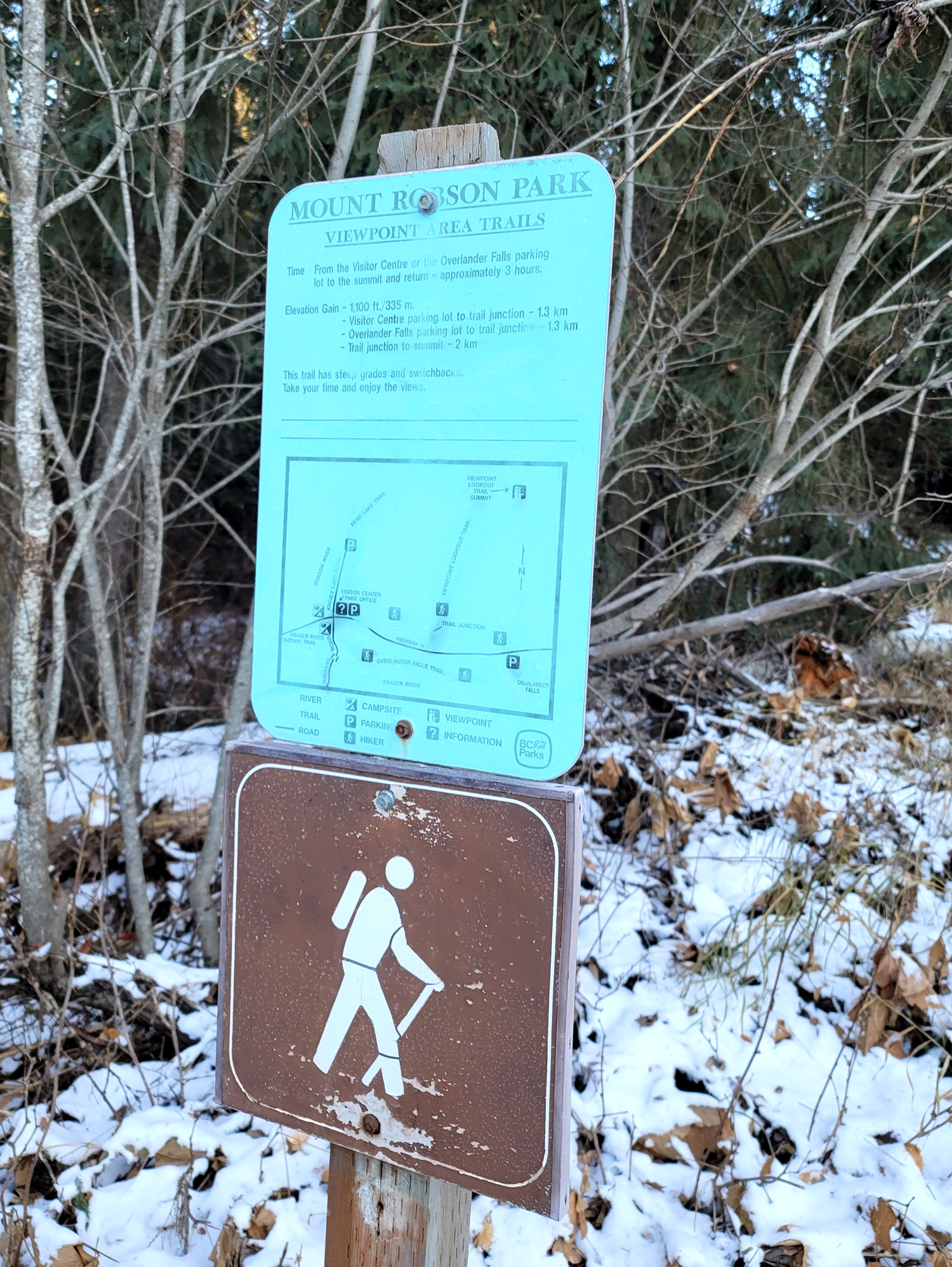
Trail Description:
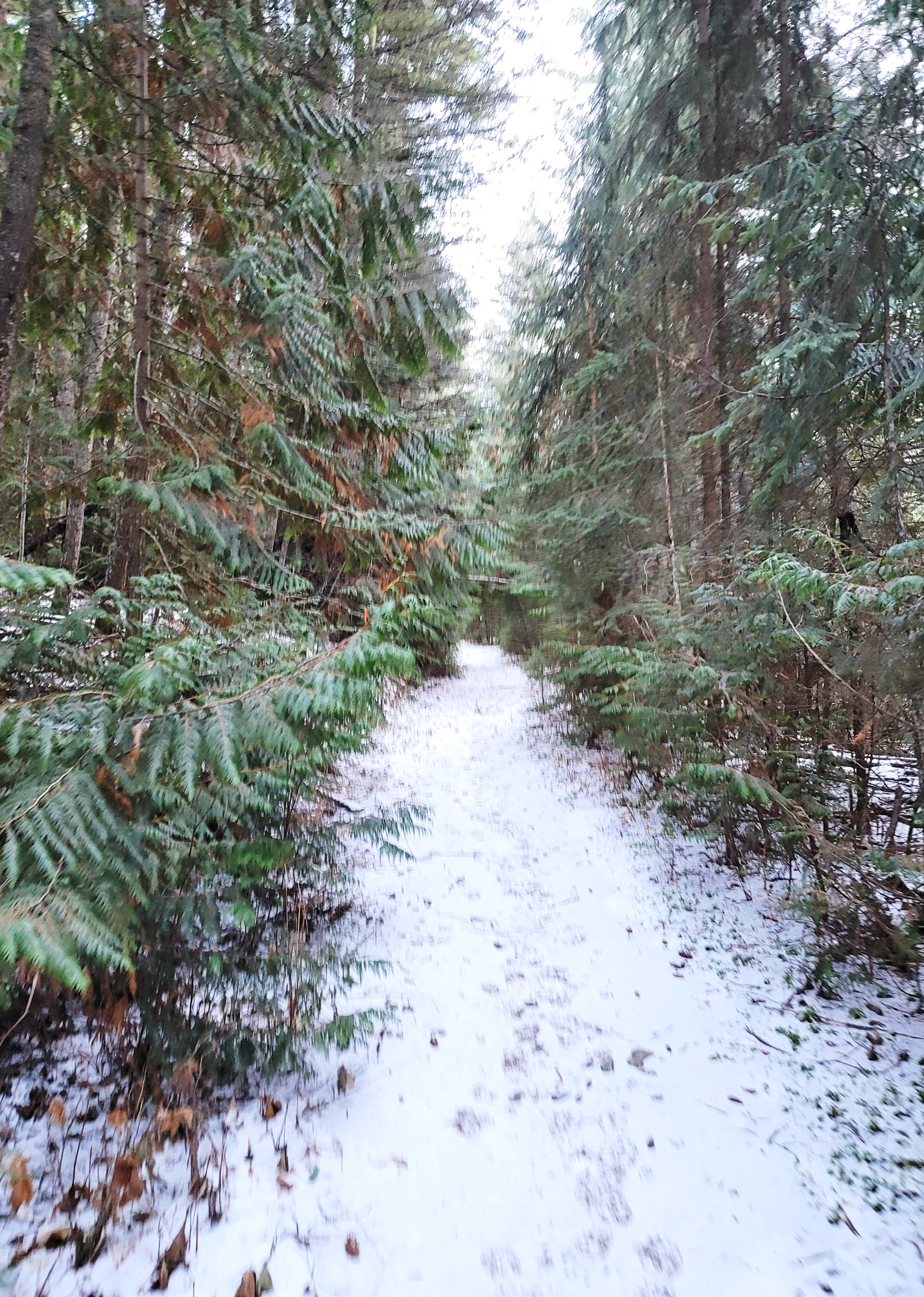
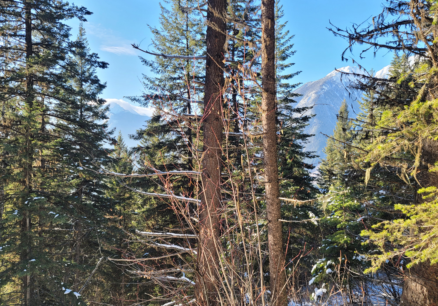
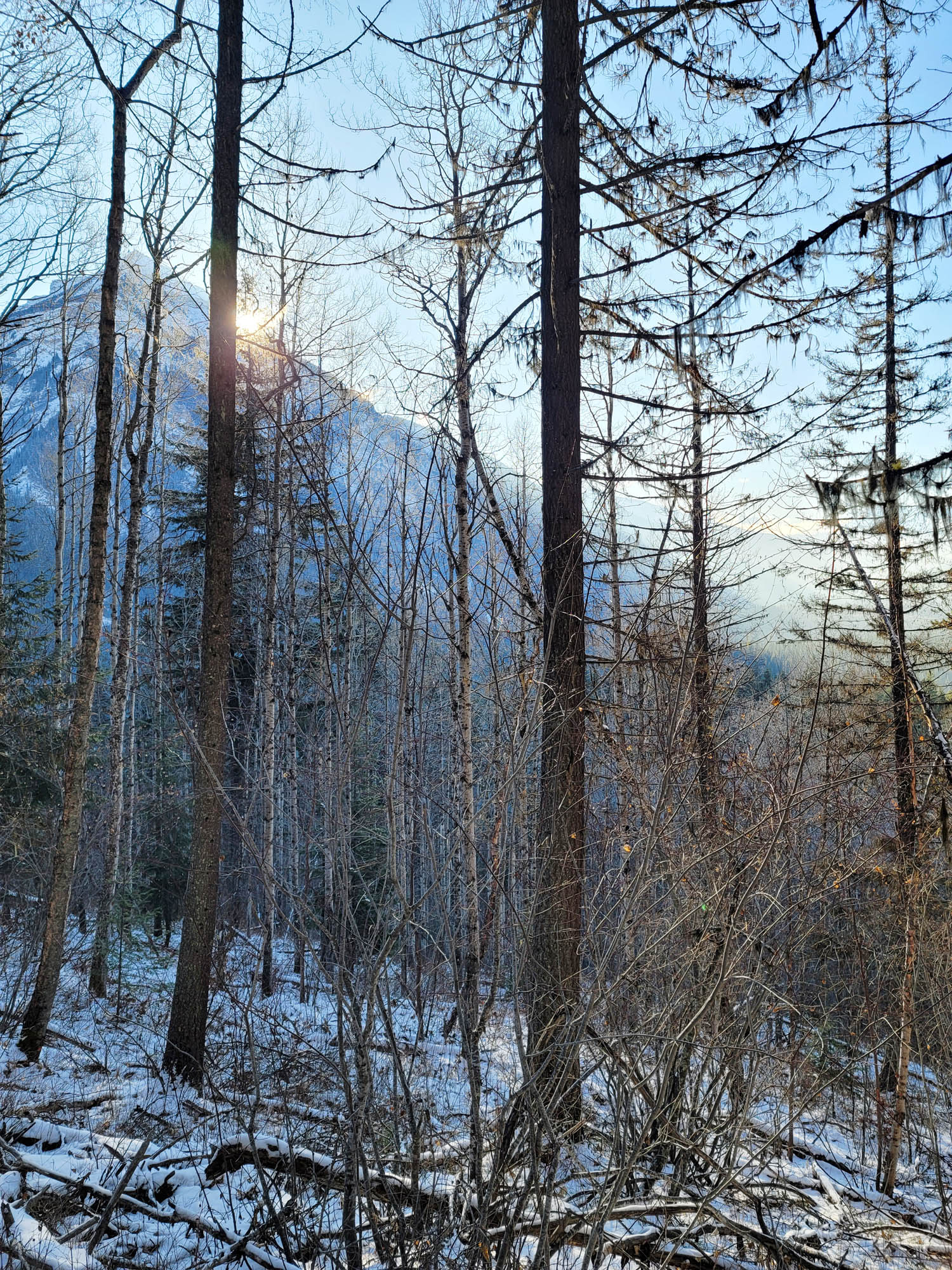
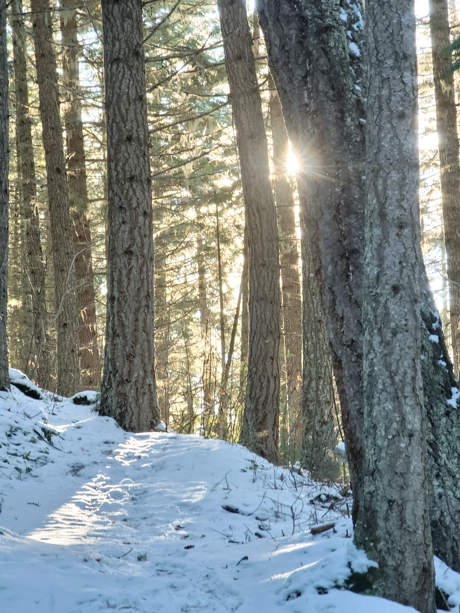
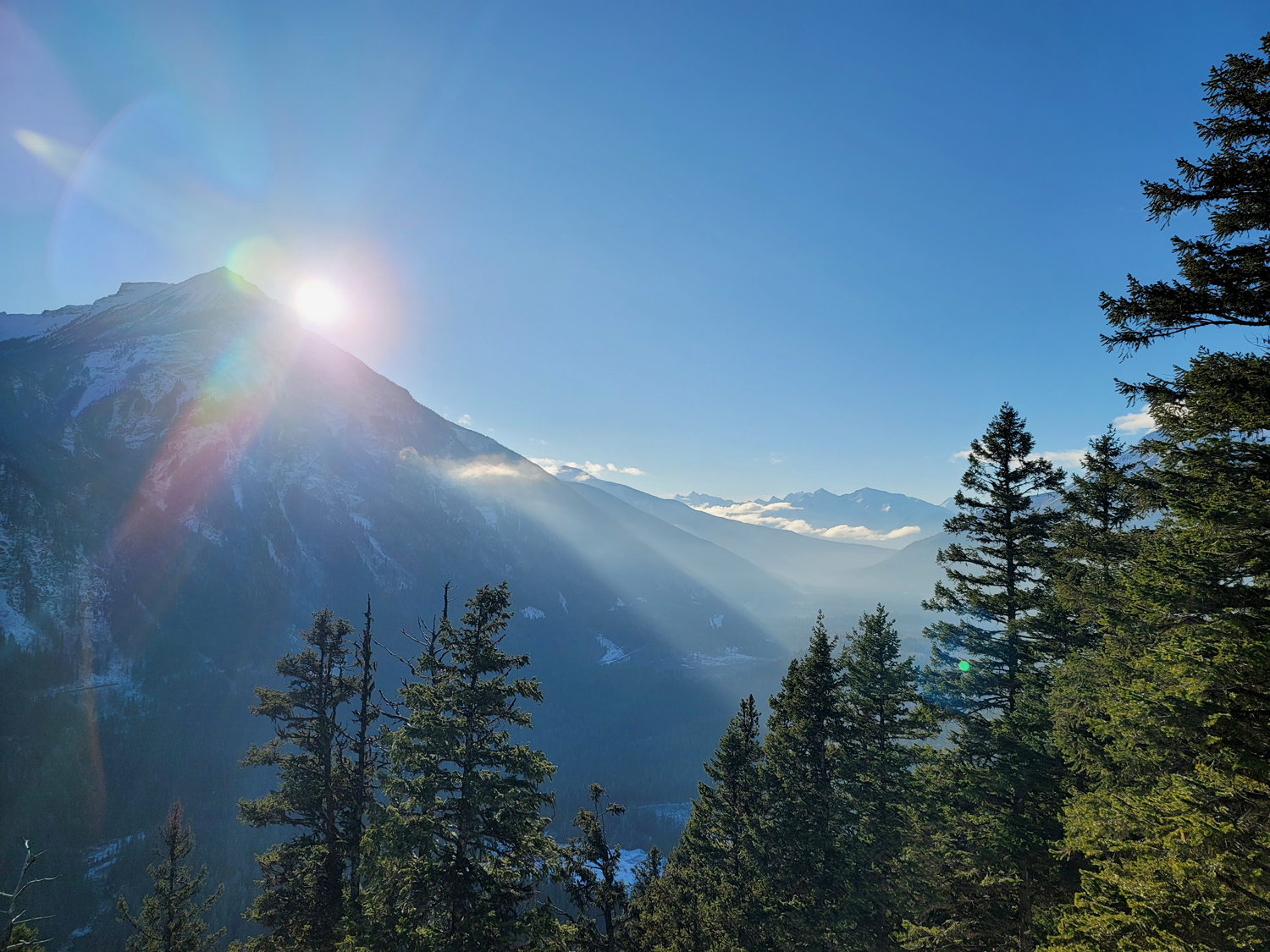
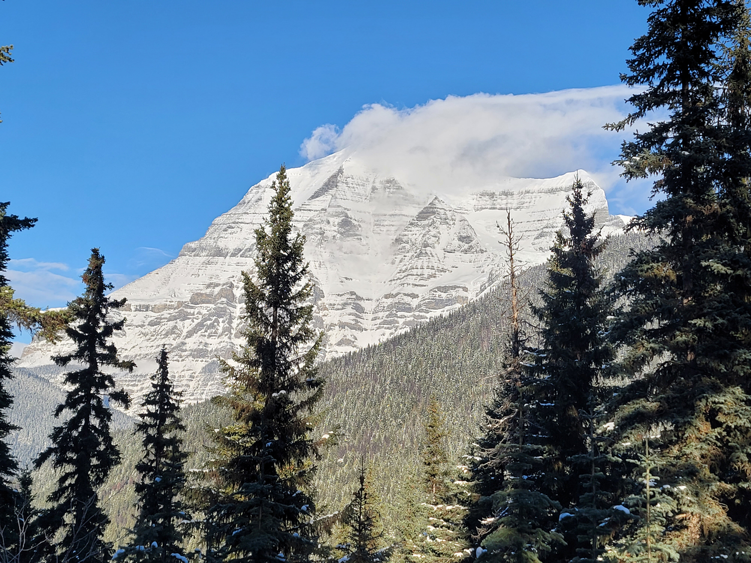
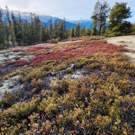
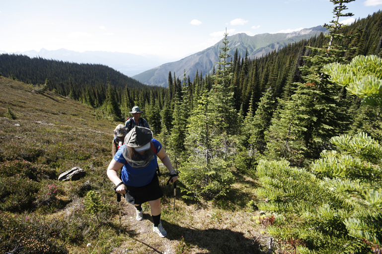
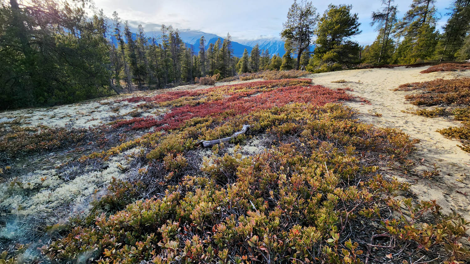
This is a great hike to try if you’re camping around Mt. Robson and have already done Kinney Lake and Overlander Falls, beginning just a stone’s throw from the bustle of the Mt. Robson parking lot. While the view of Robson up top is not significantly different from what you get below, the upper vantage does provide a unique view of the Robson Valley that stretches west from the iconic peak. There’s a bench for resting at the top. Given its lower elevation, it’s often accessible until late fall, but when snow is on the ground make sure you have good footwear to avoid slipping.
Best Parts: Proximity to Mt. Robson and the views of the valley
Worst Parts: The trail climbs consistently and there aren’t many viewpoints until you reach the top.
How to access/where to park
Google Maps Directions
To avoid crossing the busy highway, park in the Mt. Robson Visitor Centre Parking lot, towards the far end. Not far from the interpretive signage about Japanese Internment camps is where the trailhead begins.
Trailhead coordinates
53.035024, -119.227515
GPS tracks
(Right click, save link as)
Trailhead #2 GPS track

 Add to favorites