Medium Difficulty ![]()
Distance (one-way)
9.7km/6mi
Approx. time
3-3.5 hrs
Elevation gain
200 m/700 ft
More
Details
Steepest grade: approx. 20%
High-clearance 4×4 advised to trailhead? Depends on seasonal road conditions
Best seasons: Spring, summer, fall
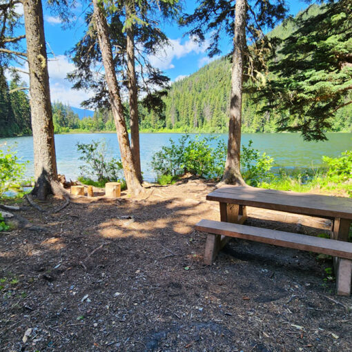
Closest public bathroom Outhouse at bike park parking lot
Cell service? Yes (mostly)
Gear to bring Bring 0.5L water per person and bug spray
Trail Description:
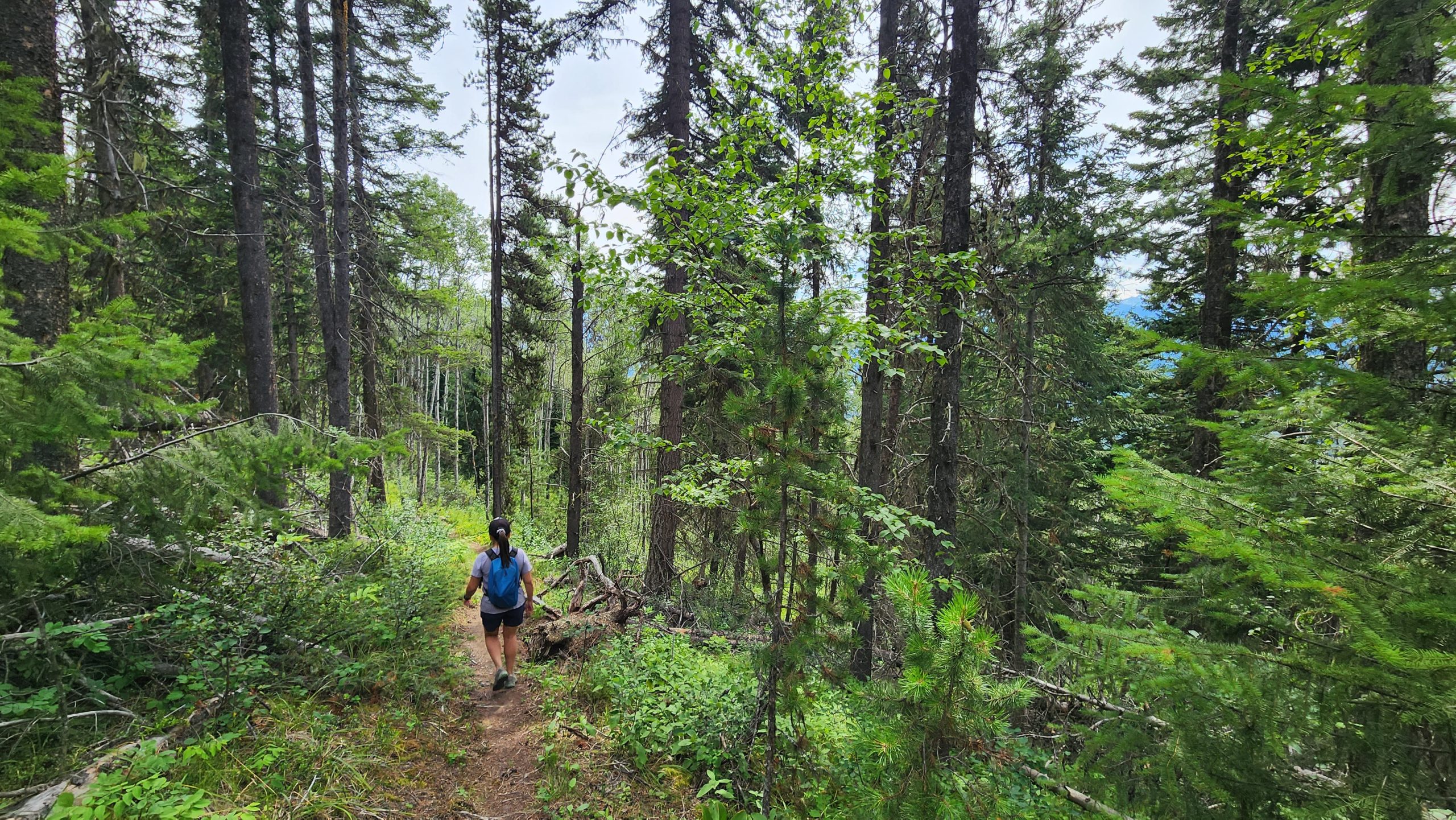
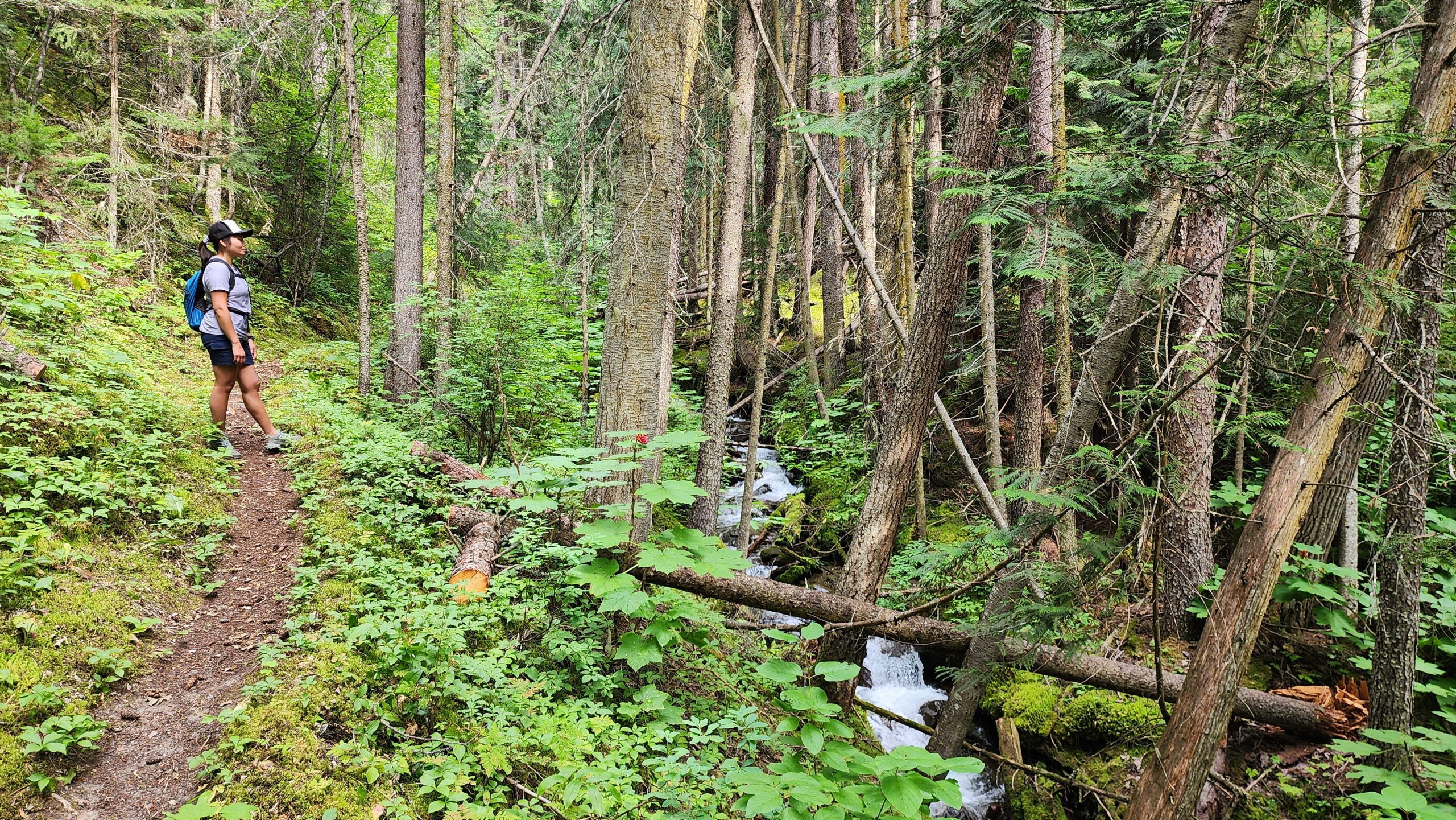
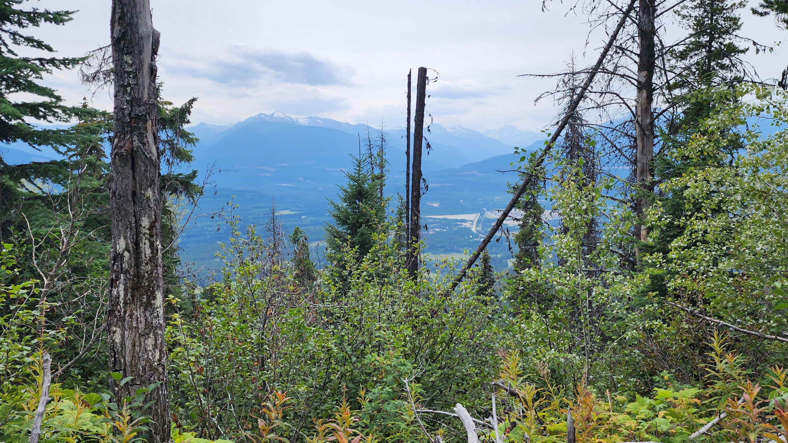
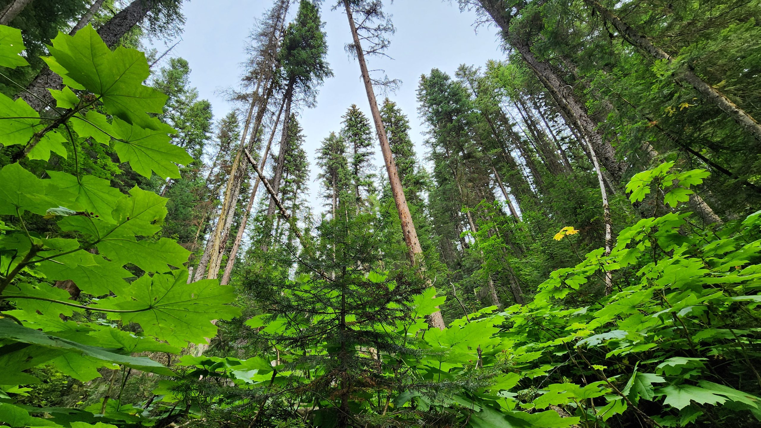
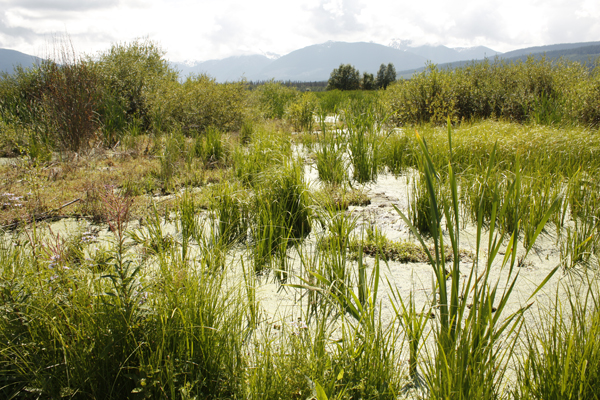
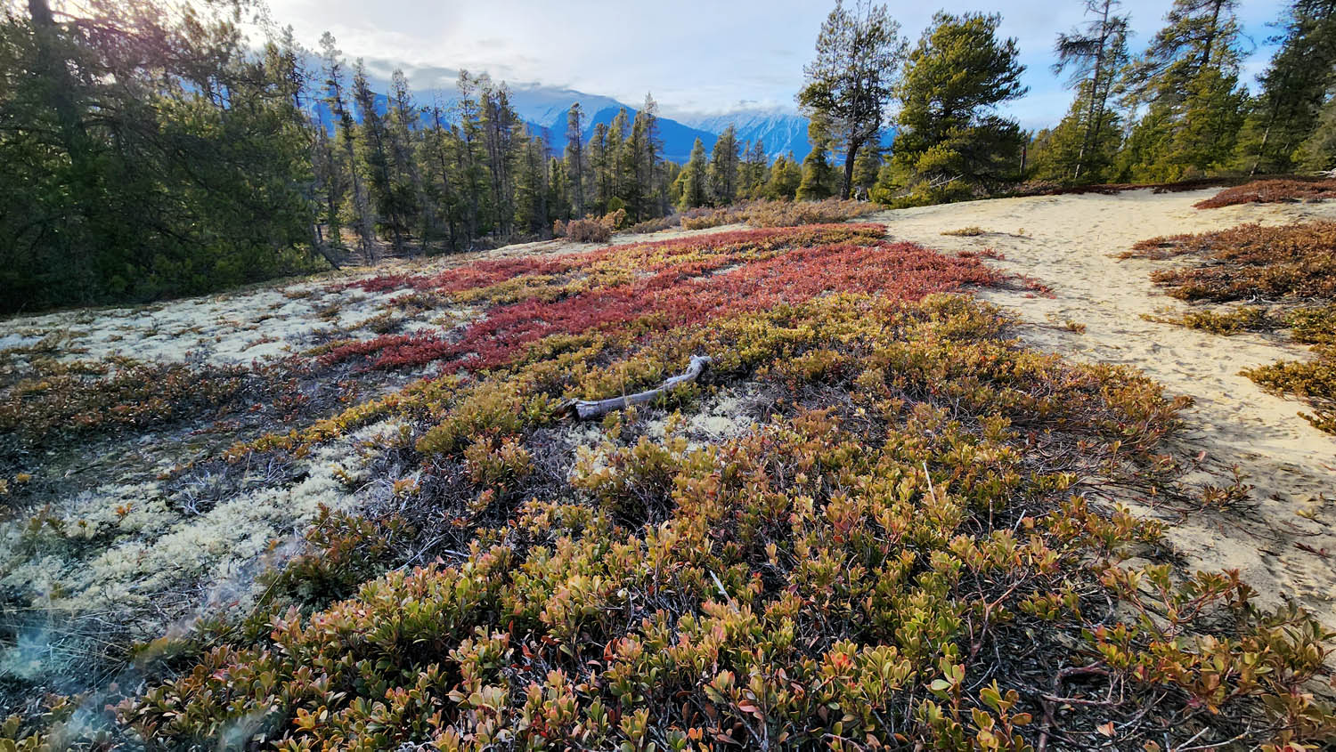
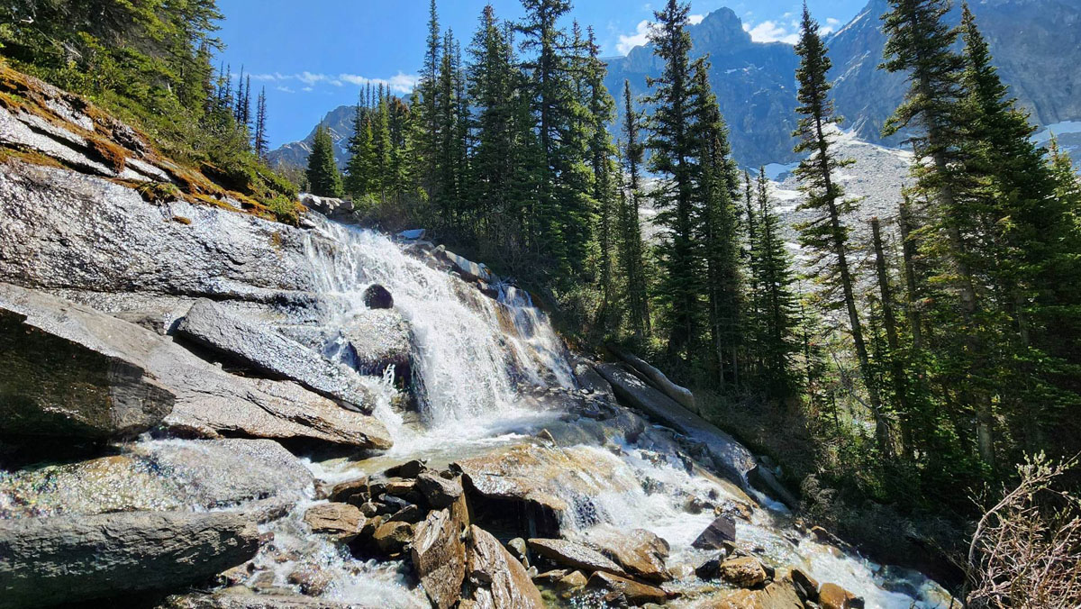
This trail meanders through beautiful forested terrain without a lot of elevation gain. The hiking trail (a portion of which is also suitable for mountain bikers) connects the bike park with the head of Kinbasket Lake, some 10km away. The undulating terrain makes the distance somewhat deceiving however — you may wish to do what many locals do and park one vehicle at either end to avoid a 20-km return trip. In 2025, the trail is in excellent condition for the first 8 or so kilometres starting at the bike park. The last few kilometres (southern end) are somewhat grown-in but still passable.
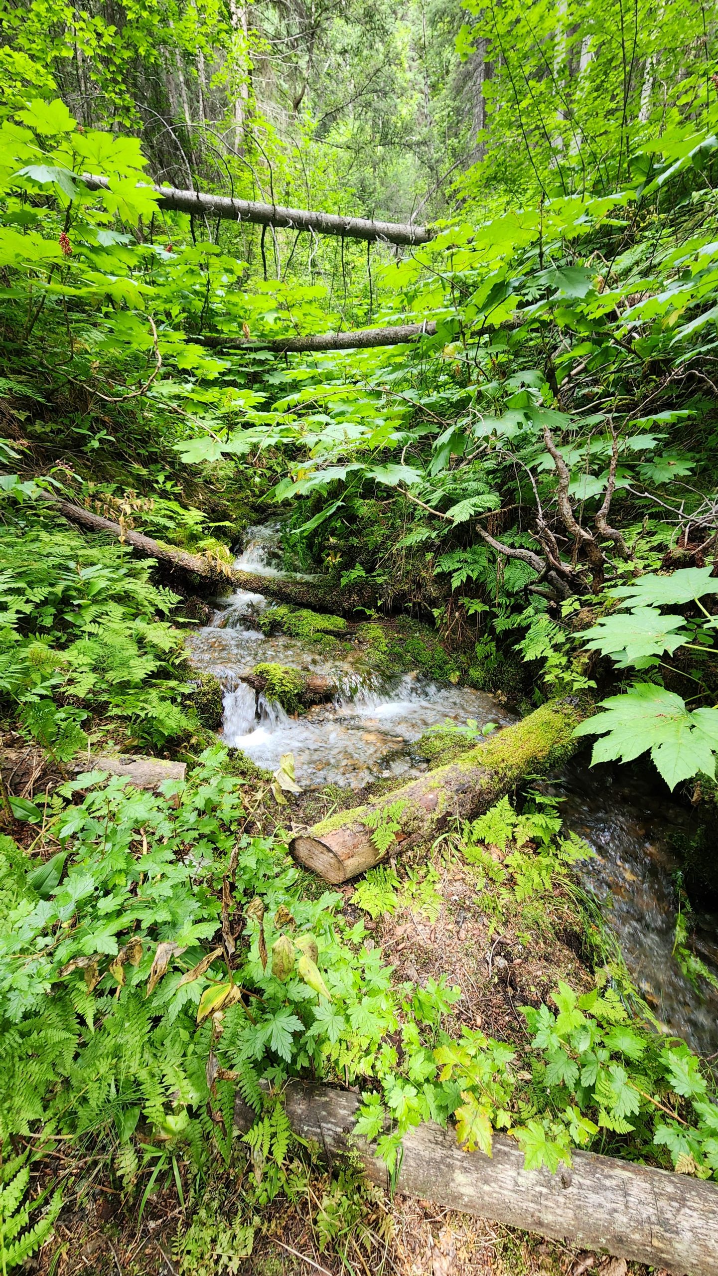
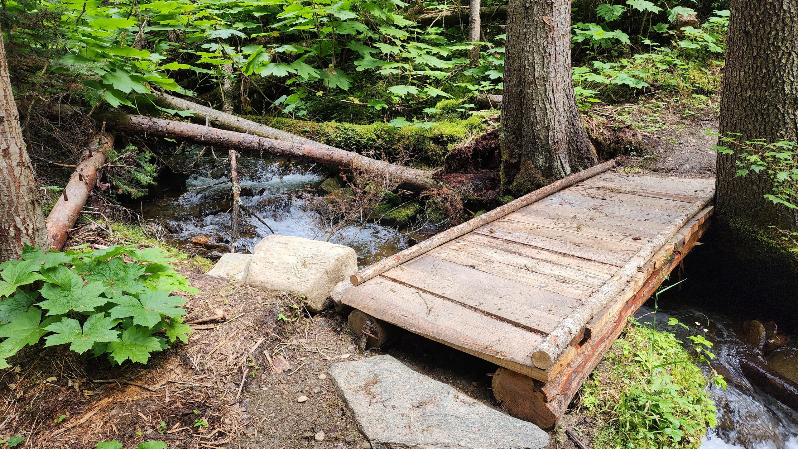
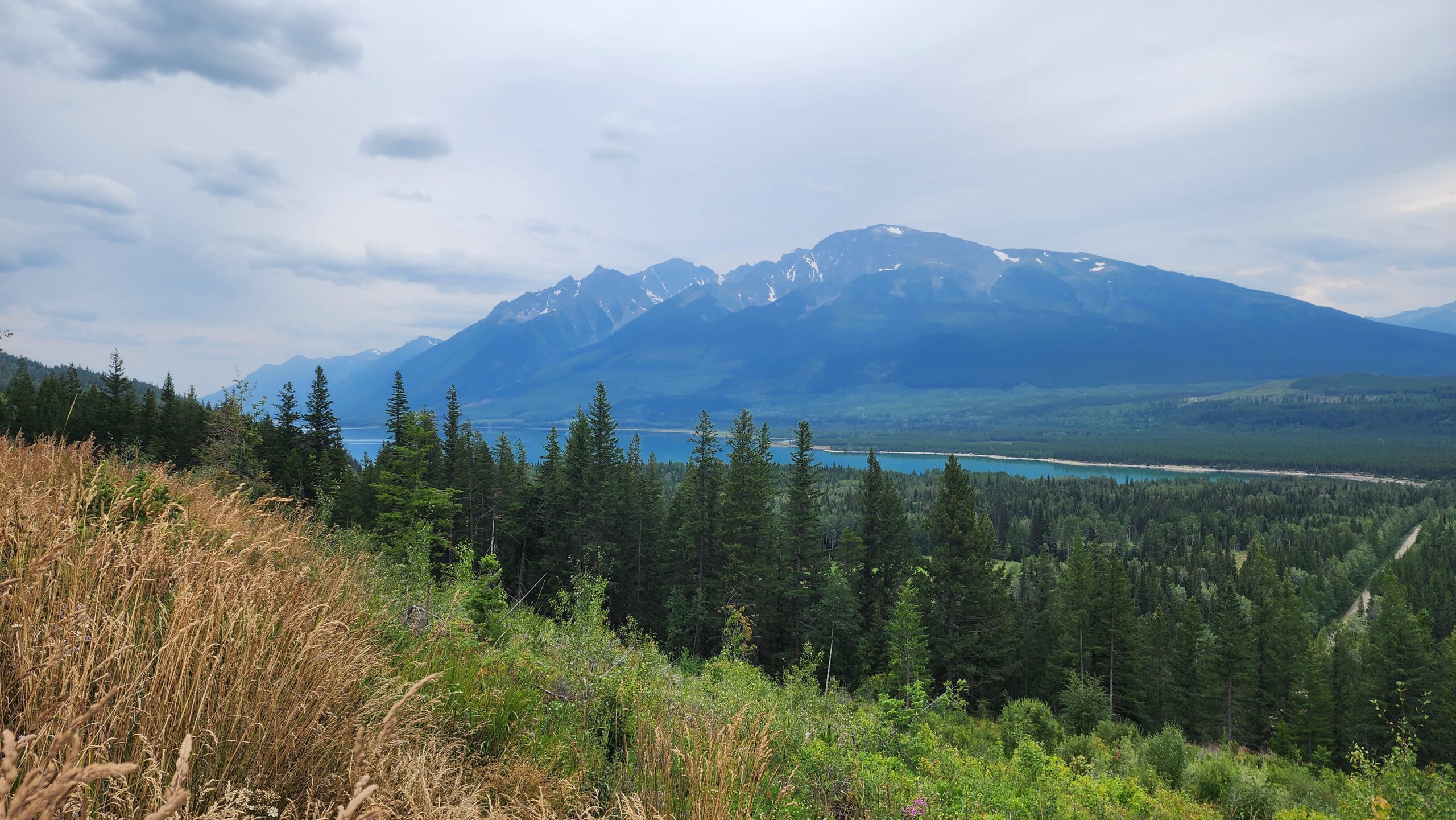
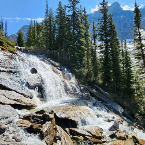
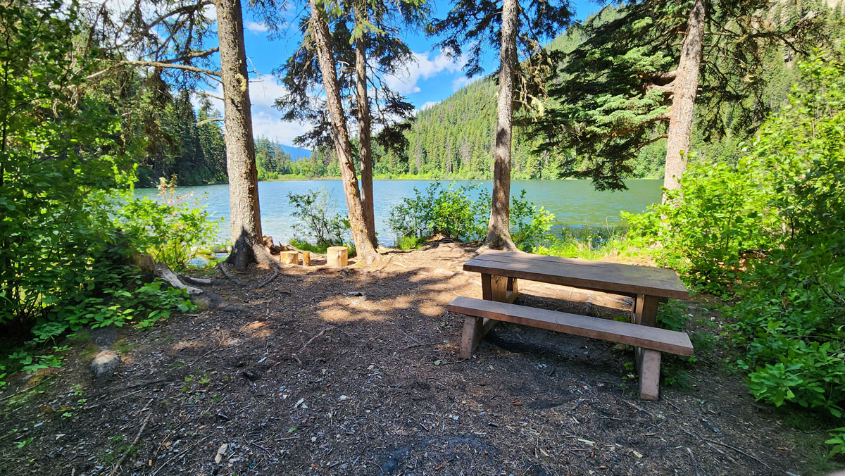
Best Parts: This trail isn’t super popular with bikers or hikers meaning you’re likely to experience a calm and solitary trek through mature forests and over a number of lovely creeks. The viewpoint of Kinbasket Lake and Canoe Mountain on the southern end of the trail is not to be missed and is accessible by 4×4 vehicle from the East Canoe FSR.
Worst Parts: Watch out: bears are sometimes spotted here. Be sure to make lots of noise so you don’t surprise them and they have time to leave. The mosquitoes can be bad in the spring and summer, although it depends on weather conditions.
How to access/where to park
Google Map Directions to parking
Travel east along 5th Ave through downtown Valemount, and cross the railway tracks, then turn right and follow the signs for the bike park up 5-Mile road until you reach the parking area for the Selwyn as per Google Map directions above (located just prior to the trailhead).
Trailhead coordinates
5-Mile Trailhead:
52.84389, -119.24076
East Canoe FSR Trail end
(Kinbasket parking)
52.78962, -119.16632
GPS Tracks
(Right click, Save link as)
Download Trail GPX file

 Add to favorites