Medium Difficulty![]()
Distance (return)
8.5km/5.3mi
Approx. time
2-2.5 hrs
Elevation gain
150 m/500 ft
More
Details
Steepest grade: approx. 25%
High-clearance 4×4 advised to trailhead? No
Best seasons: Spring, summer, fall
Closest public bathroom Outhouse at bike park parking lot
Cell service? Yes (mostly)
Gear to bring Bring 0.5L water per person and bug spray
Trail Description:
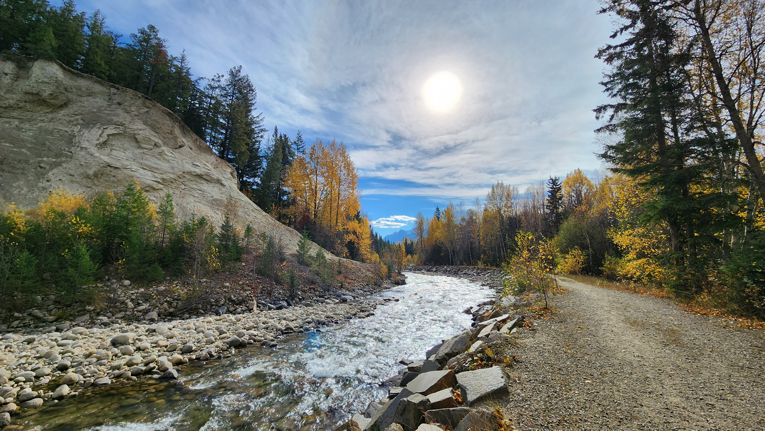
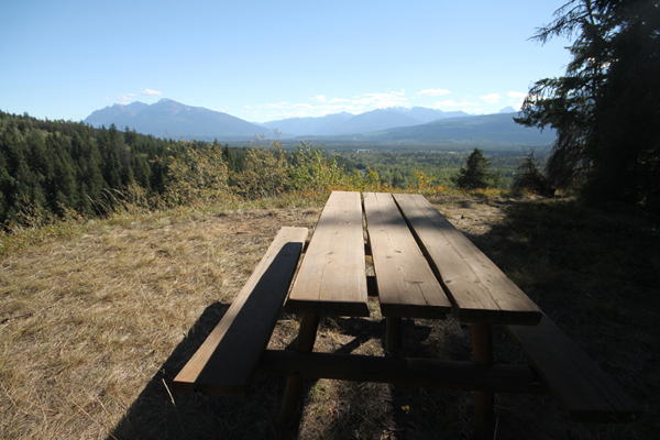
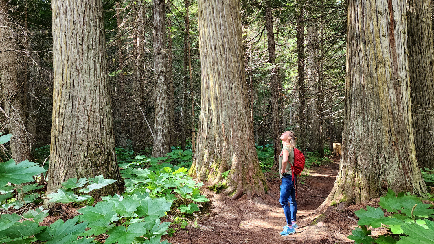
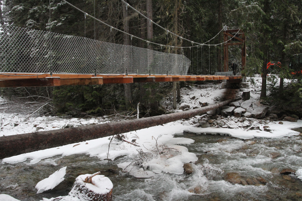
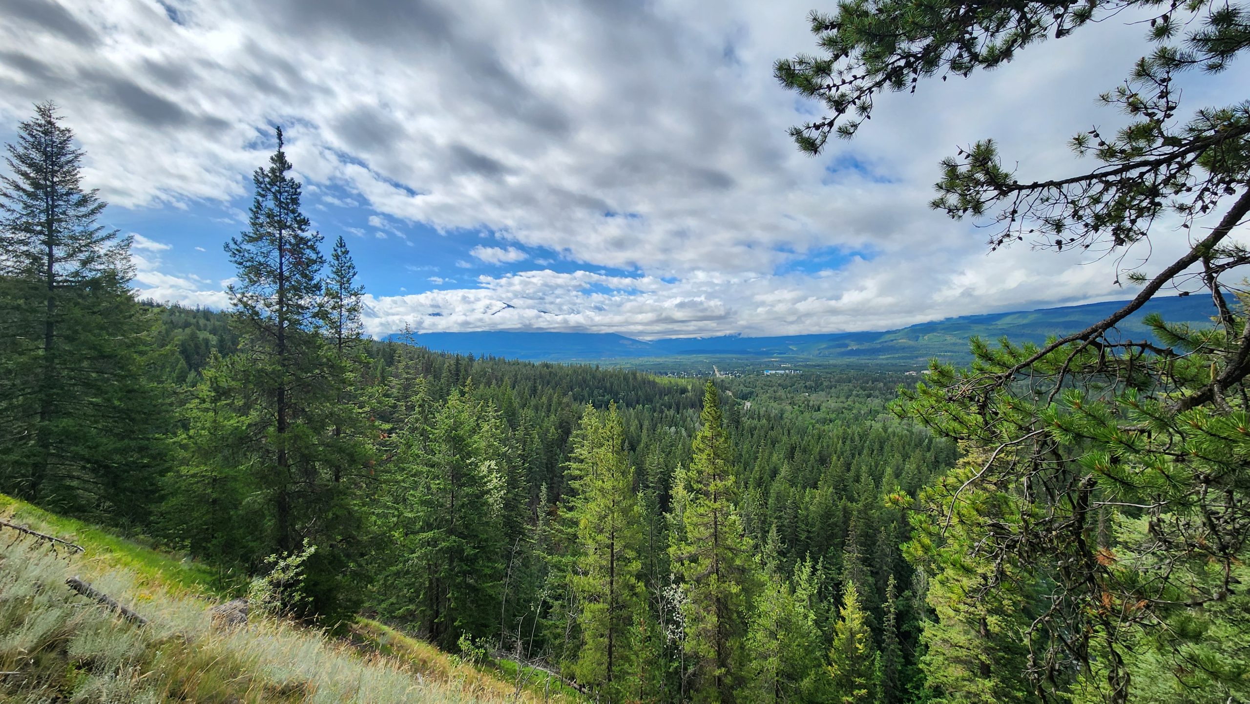
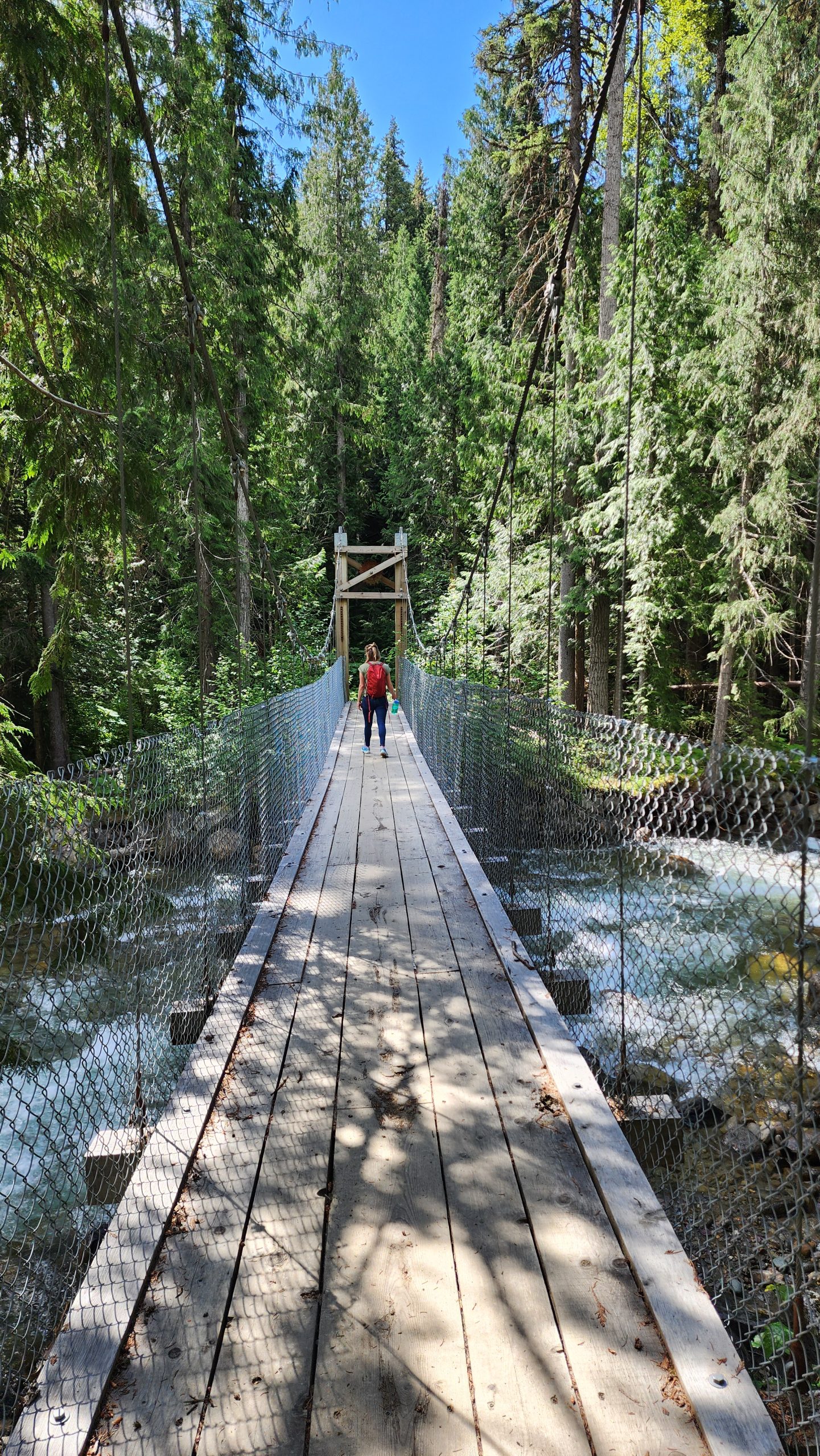
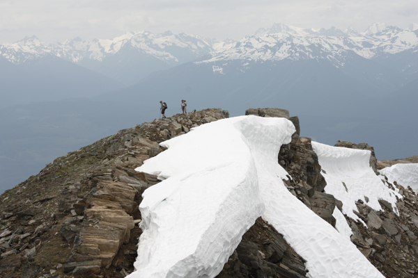
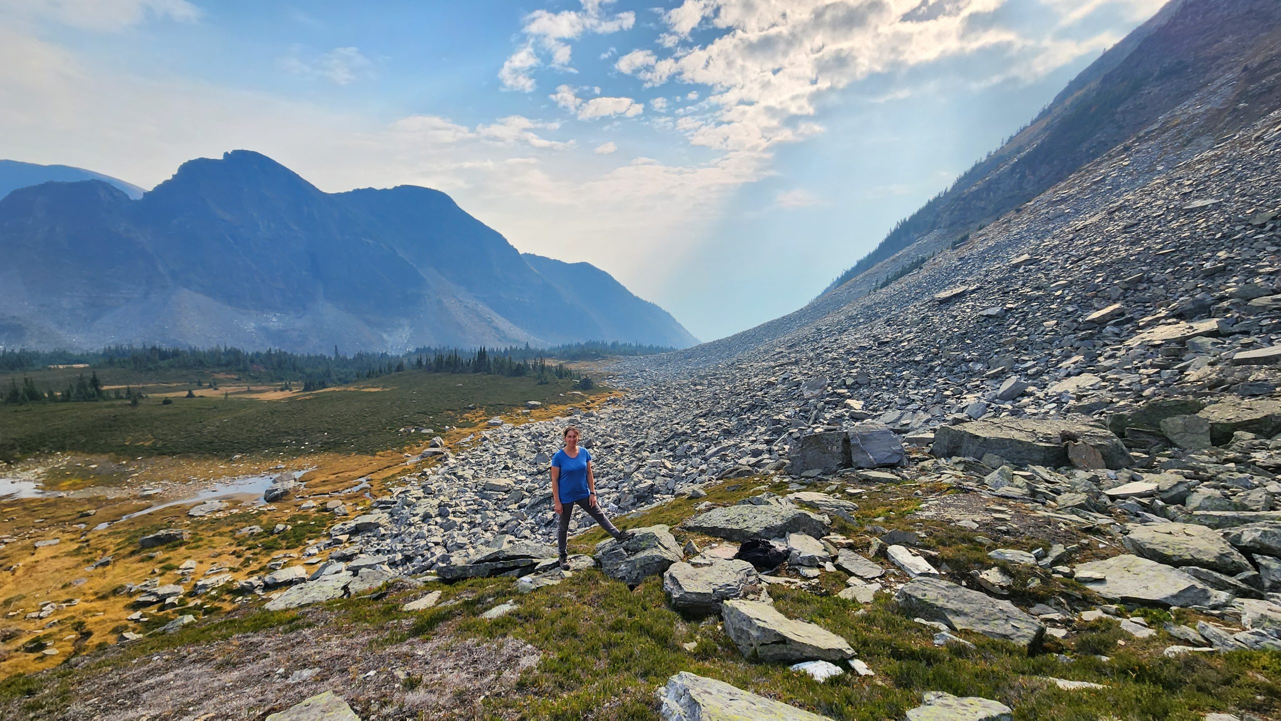
This trail is a favourite among locals and visitors. The calming rush of the creek, the huge cedar trees, the lookout overlooking Valemount and surrounding mountains, the lichen, mushrooms and other plant life, plus a suspension bridge! The biking trails intersect at various spots along the way, watch for the #6 markers which will keep you on the main trail. To avoid walking down 5-Mile (which can be dusty due to bike shuttle vehicles) look for a sign across the road that provides a nicer descent to the bottom of 5-Mile with only a few short sections along the road.
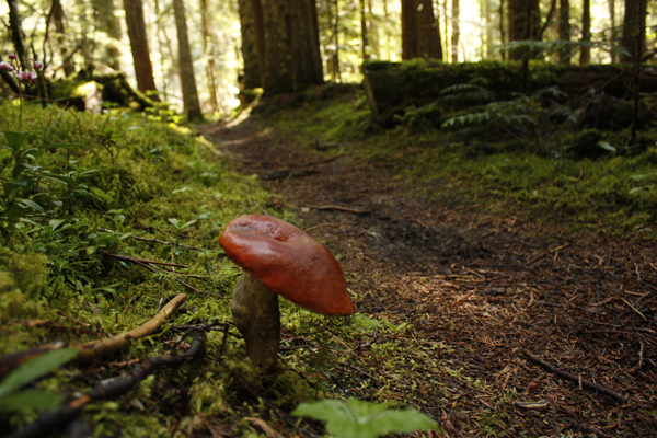
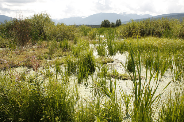
Best Parts: This trail has viewpoints and huge trees, follows a calming creek, crosses a suspension bridge, and is very accessible from town. In September you can occasionally see spawning salmon close to the municipal water intake. The Village gets its drinking water from this stream, please respect that this is a watershed. Keep yourself and your pets out of the water as not to disturb the delicate salmon nests. Chinook salmon are more commonly seen closer to the Info Centre in Swift Creek and usually begin spawning mid-late August.
Worst Parts: There’s a steep section right before the viewpoint. On the southwest side of the creek, the ground can be wet and muddy after rainfall. Bears are sometimes spotted. Make lots of noise so you don’t surprise them and they have time to leave. Mosquitoes can be bad in the spring and summer.
How to access/where to park
Google Map Directions.
Travel east along 5th Ave through downtown Valemount, and cross the railway tracks, then turn left onto Main St and follow for 1 km.
Parking is available on the west side of the road just before or after the bridge (across from the Golden Years Lodge). The trail starts immediately after the bridge on the right.
Trailhead coordinates
Main St. Trailhead:
52.838697°, -119.267809°
5-Mile Rd Trailhead:
52.846802°, -119.255173°
GPS Tracks
(Right click, Save link as)
Download Trail GPX file

 Add to favorites