
Easy/Medium Difficulty![]()
![]()
Distance (return)
3.6 km/2.2 mi
Approx. time
1–1.5 hr
Elevation gain
37 m / 120 ft
More
Details
Steepest grade: approx. 25%
High-clearance 4×4 advised to access trailhead? No
Best seasons: Spring, summer, fall
Closest public bathroom Centennial Park
Cell service? Yes
Gear to bring Bring 0.5L water per person and bug spray
Trail Description
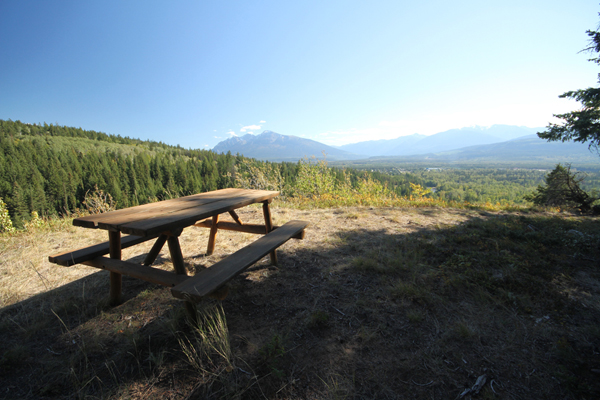
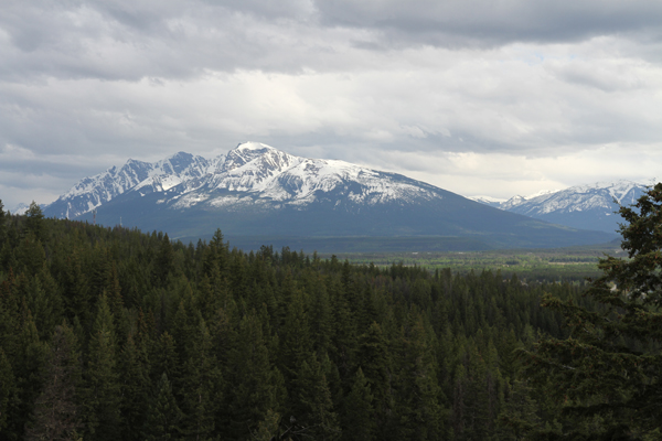
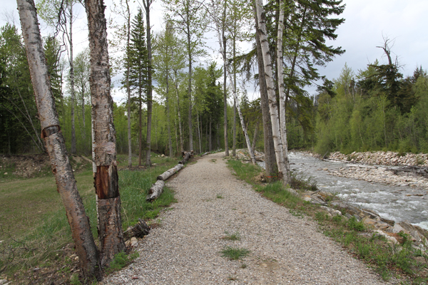
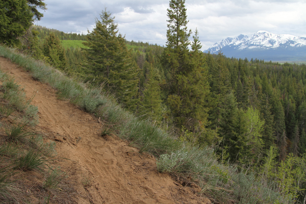
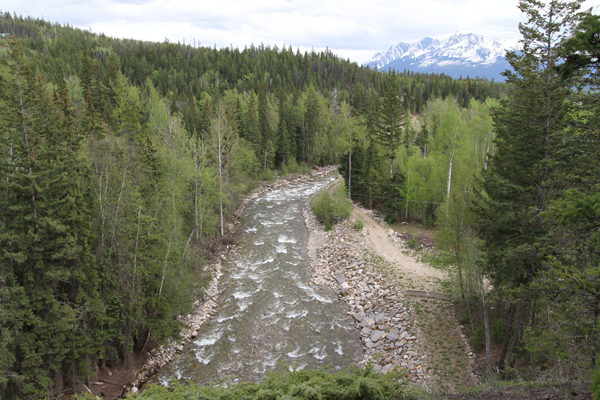
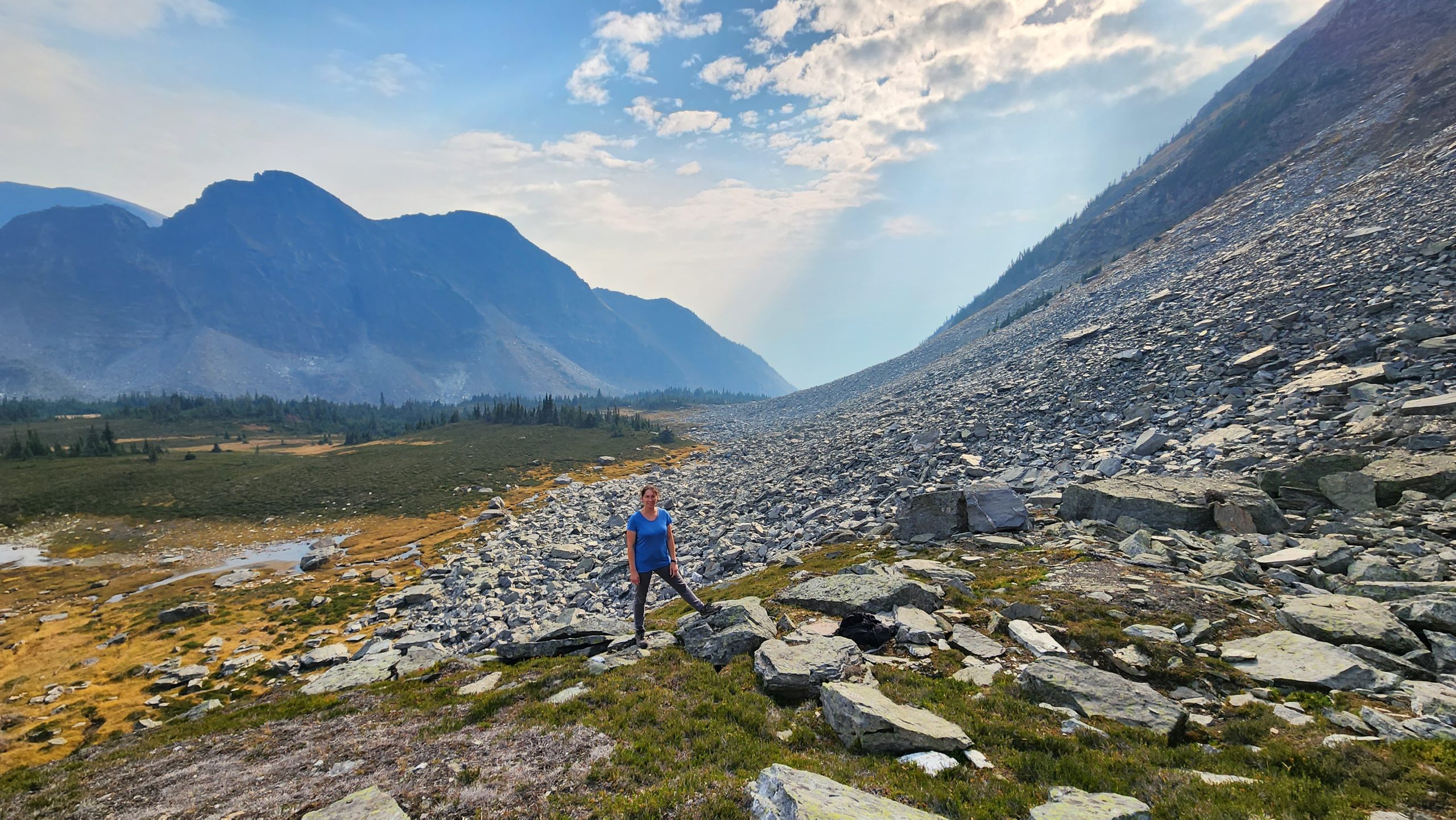
A popular trail among locals, this trail begins as a wide flat gravel trail that follows Swift Creek for 1 km, then veers up a hill and works its way steeply to a viewpoint. You can continue on this trail for a 10 km loop (Swift Creek Loop) or turn around at the viewpoint. The views are excellent for the brevity of the hike – more than 180 degrees with views of Canoe Mountain, The Village, and the Premier Range.
Best Parts
The views are wonderful for this relatively short hike. Walking along the creek is incredibly peaceful. You can ski or snowshoe the trail in winter.
Worst Parts
The last push to the lookout is a steady uphill climb. The mosquitoes can be pesky especially along the creek.
How to access/where to park
Google Map Directions.
Travel east along 5th Ave through downtown Valemount, and cross the railway tracks, then turn left onto Main St and follow for 1 km.
Parking is available on the west side of the road just before the bridge (across from the Golden Years Lodge). The trail starts immediately after the bridge on the right.
Trailhead coordinates
52.838632°, -119.267895°
(Plug into GPS or Google Maps)
GPS Tracks
(Right click, Save link as)
Download Trail GPX file

 Add to favorites

