

Hard Difficulty![]()
Distance (return)
12.1 km/7.6 mi
Approx. time
6–8 hrs return
(Plus reaching the trailhead will take 35mins from Valemount each way)
Elevation gain
800 m/2600 ft
More details
Steepest grade: 30%+
High-clearance 4×4 advised to trailhead? Yes
Best seasons: late June to late Sept
Closest public bathroom Visitor Centre
Cell service? Spotty
Gear to bring Bring 2L water per person and bug spray
Trail Description:
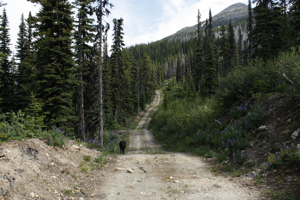
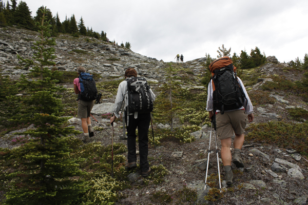
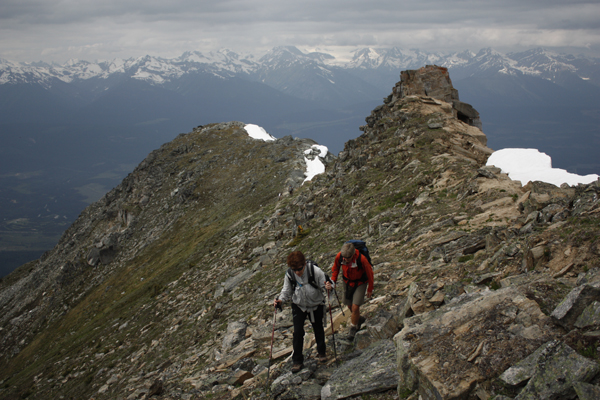
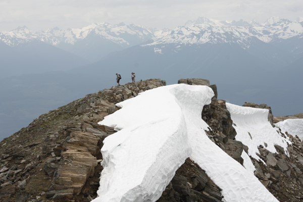
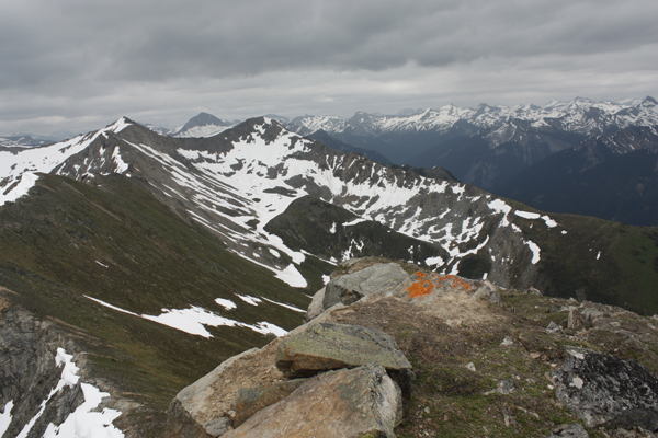
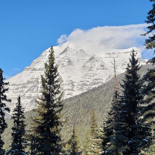
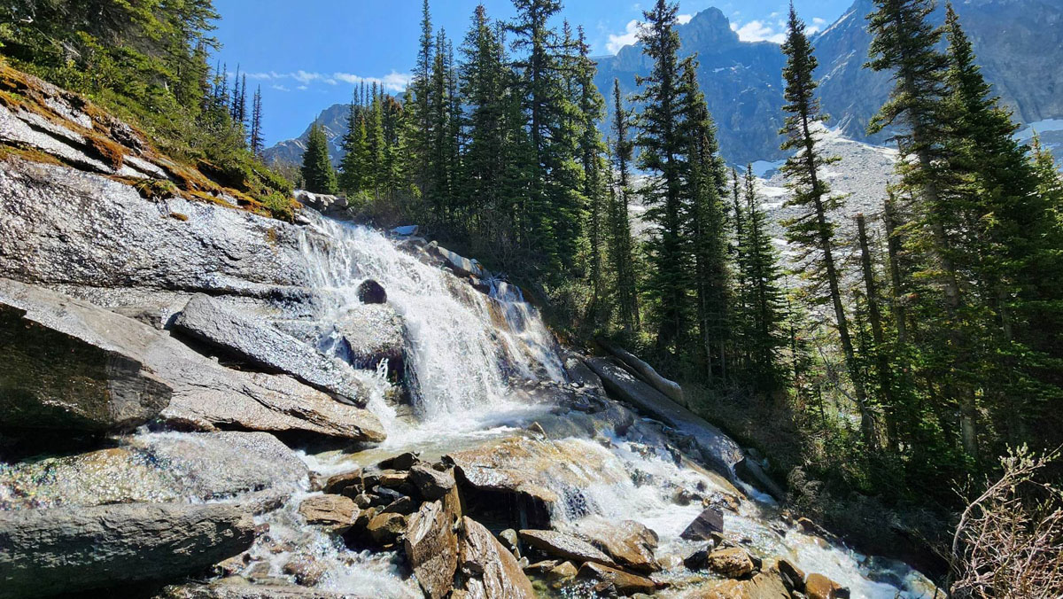
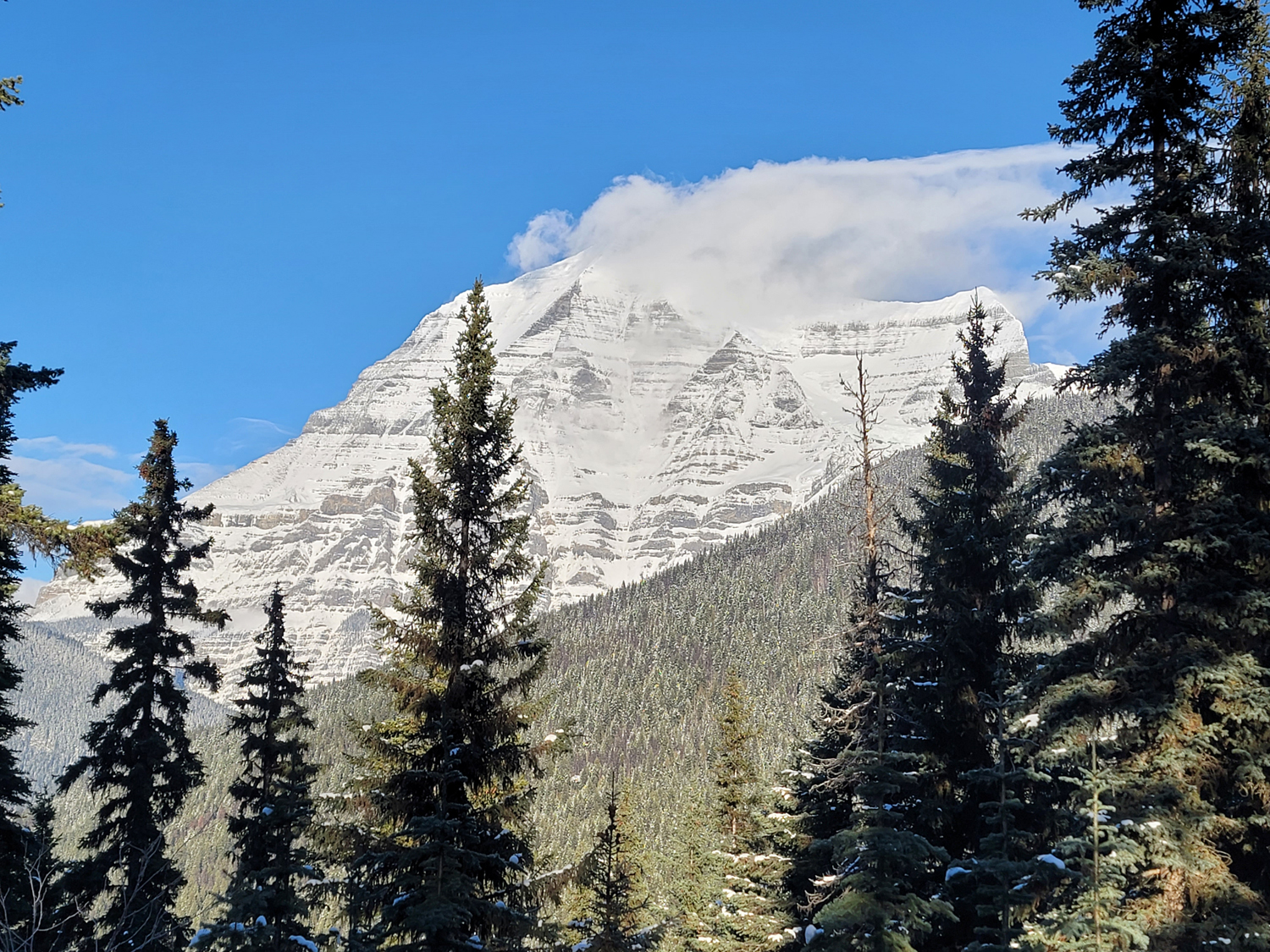
Swift Mountain is one of the most accessible peaks in the Valemount area. This is partly due to the high access road. You can drive up a rough forestry road (in a high-clearance 4×4 vehicle) to a point just below the sub-alpine and walk up a fireguard road. The road eventually disappears and then you’ll have to follow the ribbons marking the route. The trail is quite direct to the summit and it’s steep. Once you’re in the alpine, you’ll get panoramic views of the valley, the village, Kinbasket Lake and surrounding mountain peaks. The top contains some interesting rock formations and a ridge walk. The mosquitoes are often bad during early summer.
Best Parts: Fabulous views of the valley, the Village, Kinbasket Lake and surrounding mountain peaks.
Worst Parts: On the hiking trail there are some very steep sections that require climbing over big rocks and it’s hard to grip unless you’re wearing good hiking shoes. Hiking poles are recommended for the ridge walk and the steep descent. The mosquitoes are often bad during the summer – mosquito spray and/or a net shirt/hat are a must!
How to access/where to park
Map of access route
(road isn’t on Google Maps)
From the Valemount Visitor Centre, head north on Hwy 5. Take the first right turn onto Loseth Road (Irvin’s RV turn-off). Follow the road as it veers to the left, then take the first right across the train tracks. Follow this road 11.5 km until you see the trailhead and parking sign. At forks watch for yellow and orange flagging tape.
Trailhead coordinates
52.879560°, -119.248344°
(Insert into Google Maps or a GPS)
GPS tracks
(Right click, Save link as)
Download trail GPX
Download access road GPX

 Add to favorites