
 Add to favorites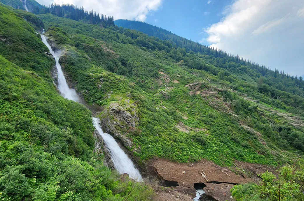
By YORA
The signs of avalanches were there all along, but this January, that natural cycle came about in a big way: Valemount’s popular Aloha trail on the west side of Kinbasket Lake was taken out by a large slide.
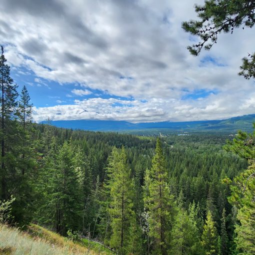
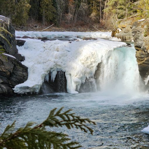
The trail was closed as locals waited for the avalanche snow to melt. As of the end of July 2026, the trail has mostly re-opened, but you won’t recognize much of the lower part. Instead of walking through tunnels of slide alder, you feel the sun and have a view of Kinbasket Lake almost the whole way. Trail creators Dave MacDowell and Randy Pruden cut back much of the avalanche debris to open up the trail again, but there are a couple sections that are still wet and muddy, and a person has to skirt through a boggy area. But despite the changes, the trail is still delightful. The viewpoints of the falls are intact, and although the lower falls section has been ribboned off (due to dangerous rotten snow around the base of the falls), the new views of the lake make up for it.
To reach this trail, take Canoe Road to the junction of the East and West Canoe roads, then turn right onto the West Canoe road and follow it to the 15km marker. The trail begins just before the 15km sign. There is often active logging and it is a Forest Service Road so users should be aware of logging traffic as well as variable road conditions.
To learn more visit hikevalemount.com/hawaii-bc-trail-aloha/
Distance: 1.2km/0.7mi (main lookout)
Elevation: 100 m/328 ft
Trailhead coordinates: 52.687851, -119.066831