
Hard Difficulty
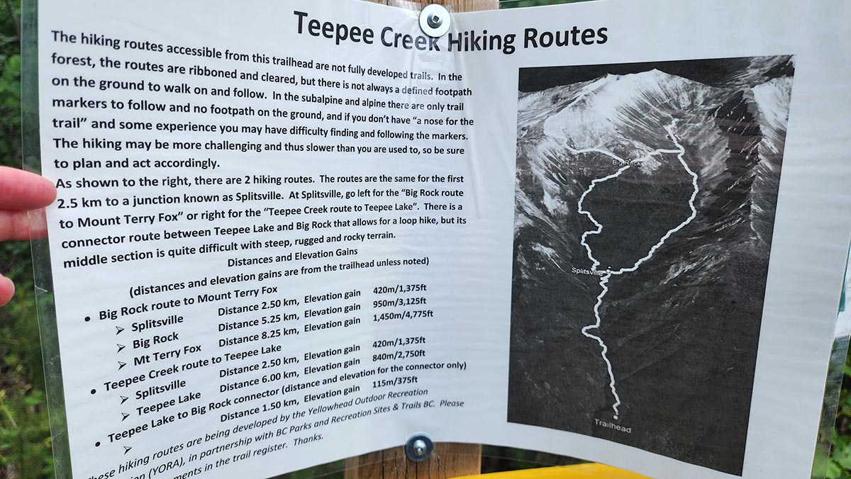
Distance (return)
12 km/ 7.5 mi (lake)
16.5 km / 10.25 mi (peak)
NOTE: Visiting the lake before climbing to the peak increases the distance due to undulating terrain. The values here for the peak are only for the route peak Splitsville/Big Rock.
Approx. time (return)
5-6 hrs (lake)
8-10 hrs (peak)
Elevation gain
840 m/2750 ft (lake)
1450 m/4775 ft (peak)
More details
Steepest grade: ~30%+
High-clearance 4×4 advised to trailhead? Yes
Best seasons: Summer for peak. Spring, summer, fall (May-Sept) for lake.
Closest public bathroom Outhouse at the parking lot & lake
Cell service? Spotty
Gear to bring Bring 3-5L water per person and bug spray. Hiking poles are useful for the descent. Satellite phone/SPOT useful in case of emergency.
Trail Description
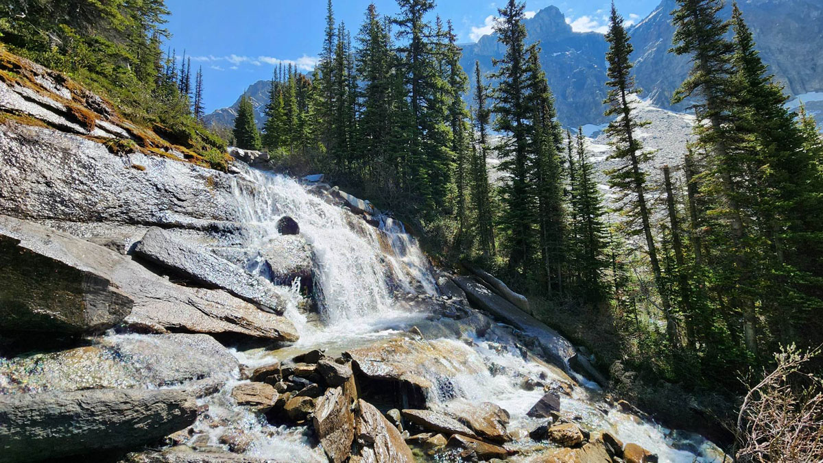
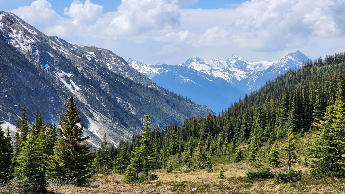
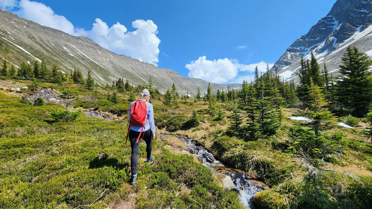
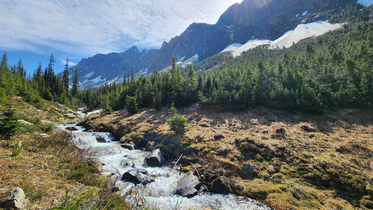
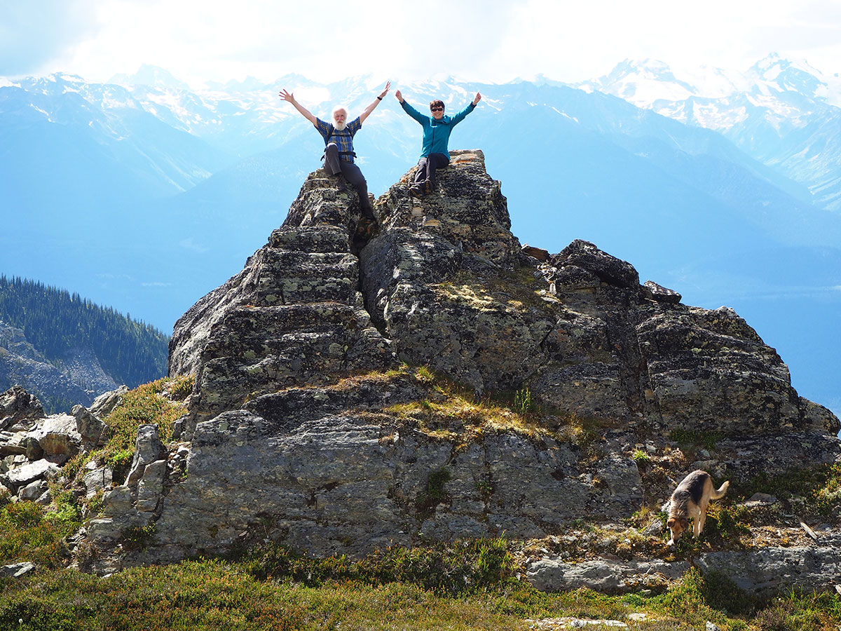
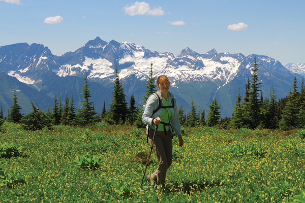
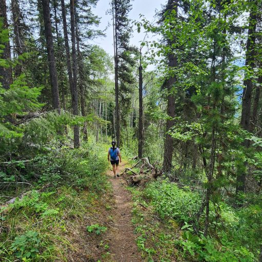
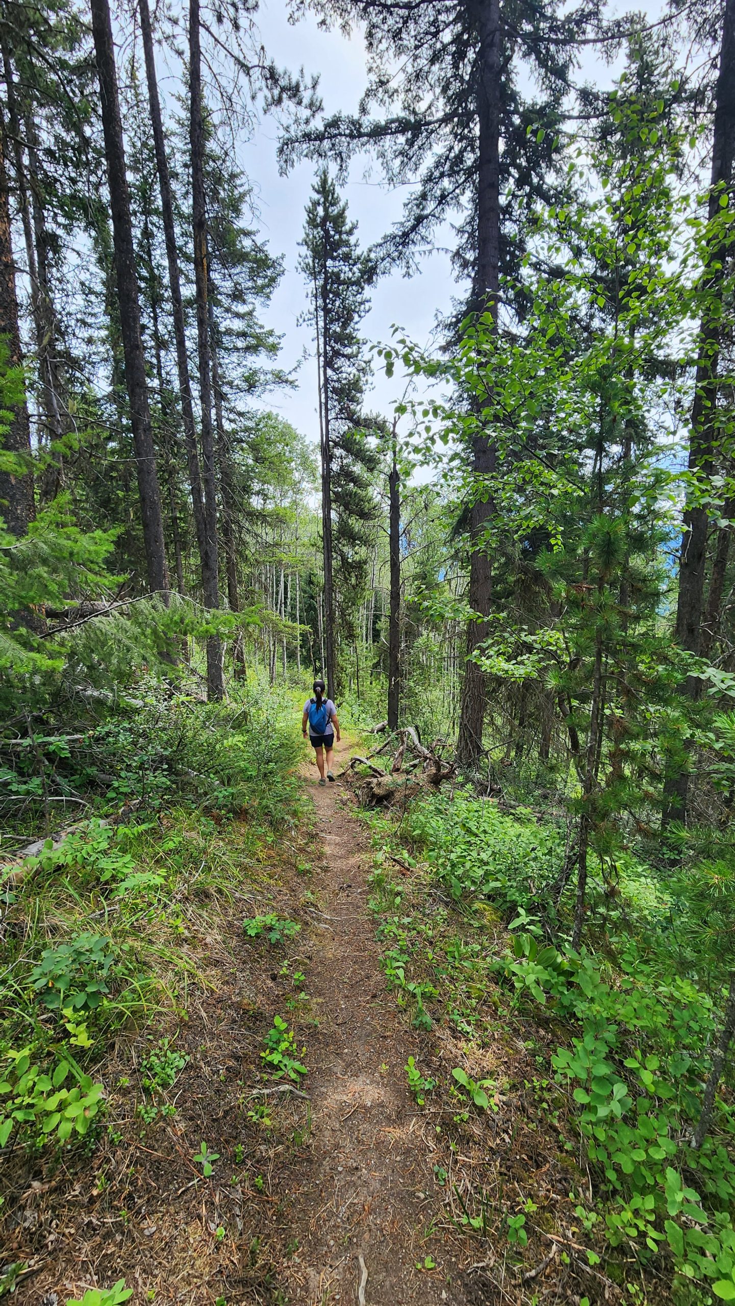
Teepee Creek: The new Teepee Creek hiking trail on Mount Terry Fox is a true gem in Valemount’s hiking offerings, one that shouldn’t be missed. The trail begins 1000ft higher in elevation than the original Terry Fox trail, and follows Teepee Creek, the trail’s namesake back to an alpine lake. With impressive elevation gain (800m), the trail opens onto some truly stunning vistas, and traverses through wet alpine lands and waterfalls big and small below rocky peaks jutting up from the narrow valley. Wildflowers that bloom here in spring, and berries ripen in late summer. The myriad water features include underground streams that flow just below the surface of the tree roots in the forest. Reaching the sub-alpine just prior to the lake takes about three hours, with two hours to descend. The trail offers a there-and-back option, as well as a Big Rock/Lower Teepee Lake Loop with a return trip distance of 13 km and a total elevation gain of 950m.
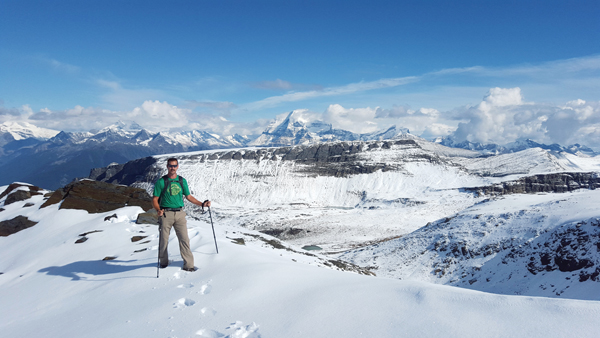
Terry Fox Peak via Teepee Creek: You can reach the summit of Mt. Terry Fox via Big Rock. The peak offers otherworldly views of the surrounding peaks including Mt. Robson. You may encounter snow at this elevation even during summer months. There is no water source along the route after you leave Big Rock. This portion involves some scrambling over large and/or loose rocks. Be sure to go well-prepared with proper hiking boots, water, hiking poles, bear spray and gear to stay warm in an emergency (and a satellite device, as cell coverage is extremely limited). The peak is an advanced hiking trail (it is possible without technical gear like ropes, however).
How to access/where to park
GPS map of access road
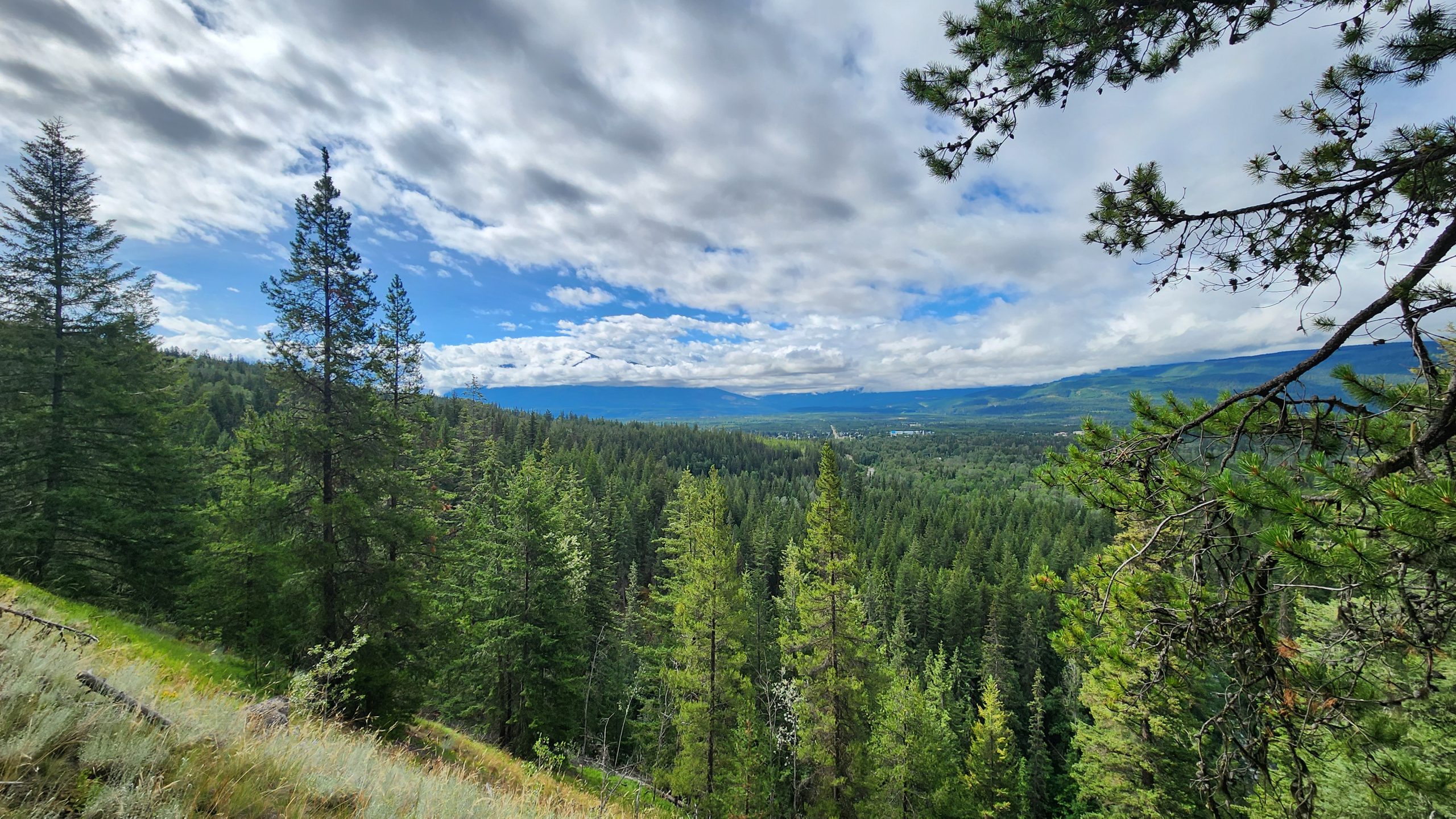
To access the new higher-elevation Teepee Creek trailhead, from the Visitor Info centre, head north on Hwy 5 for approx. km, past the train overpass and take a right at Stone Road/Tinsley Pit Road (almost directly across from the Terry Fox rest stop). Cross the railroad tracks (private crossing signs) and keep to the left. Follow the signs on Tinsley Pit Road to the Teepee Lake trailhead. At one point, you’ll do what feels like a U-turn to the left. Continue several kilometres until the parking lot. The views from the parking lot alone are amazing.
The original Terry Fox trailhead is located not far from the rail crossing near valley-bottom. This alternative trail is minimally maintained.
Trailhead coordinates:
52.902311°, -119.289135°
(access road is not visible on Google maps but click here for a map of the access road or download the GPX file)
GPS Tracks
(Right click, Save link as)
Download GPX file (Peak via Splitsville/Big Rock)
Download GPX file (Splitsville to Lake)
Download GPX file (Lake to Big Rock)
Access road GPX

 Add to favorites
2 thoughts on “Teepee Creek & Mt Terry Fox”
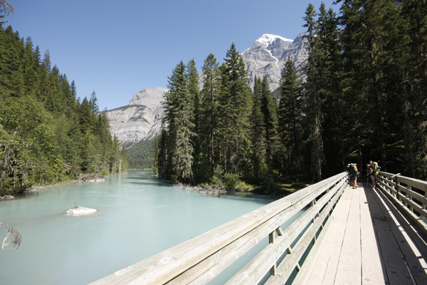
There will likely still be snow at higher elevations, but it is seasonally dependent. For Berg Lake Trail, there are advisories here: https://bcparks.ca/mount-robson-park/
Is mid June to early for hiking areas of Mt Robson due to snow high up? Thinking of hiking the area before schools out and summer rush.